Area Overview for L6 7UF
Photos of L6 7UF
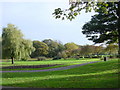
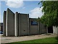
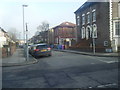

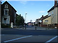
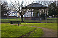
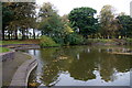
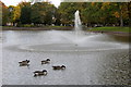
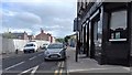
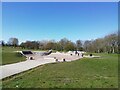
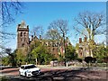

28 photos from this area
Area Information
Key information about the L6 7UF including its size, population, and administrative classification.
- Area Type
- Postcode
- Area Size
- 1.3 hectares
- Population
- 1438
- Population Density
- 6260 people/km²
House Prices in L6 7UF
55
Properties
£202,625
Average Sold Price
£37,500
Lowest Price
£305,000
Highest Price
Showing 55 properties
| Address | Type | Beds | Baths | Last Sale Price | Last Sale Date | |
|---|---|---|---|---|---|---|
| 21 Denman Drive, Liverpool, L6 7UF | Semi-detached | 5 | 5 | £305,000 | Jan 2025 | |
| 11 Denman Drive, Liverpool, L6 7UF | house | 9 | 6 | £300,000 | Dec 2024 | |
| 25 Denman Drive, Liverpool, L6 7UF | Flat | 2 | - | £37,500 | Jan 2014 | |
| 13 Denman Drive, Liverpool, L6 7UF | Semi-detached | - | - | £168,000 | Apr 2010 | |
| Flat 9 Mezzanine First And Second Floors, 15 Denman Drive, Liverpool, L6 7UF | Flat | 3 | 3 | - | - | |
| 9A Denman Drive, Liverpool, L6 7UF | Flat | 7 | 3 | - | - | |
| Flat 4, 25 Denman Drive, Liverpool, L6 7UF | Flat | 3 | 1 | - | - | |
| 27A Denman Drive, Liverpool, L6 7UF | Flat | - | - | - | - | |
| 1, Flat Ground Floor, 21 Denman Drive, Liverpool, L6 7UF | Flat | 1 | 1 | - | - | |
| Flat 4, 21 Denman Drive, Liverpool, L6 7UF | Flat | 1 | 1 | - | - |
Page 1 of 6
Energy Efficiency in L6 7UF
Amenities
Schools
| Rank | School | Type | Entry gender | Ages |
|---|
Explore more schools in this area
Go to Schools tabDemographics
Household Size
One person
most common
Accommodation Type
Flats
most common
Tenure
25
majority
Ethnic Group
White
most common
Religion
N/A
most common
Household Composition
N/A
most common
Age
47
median
Adults (30-64 years)
most common
Household Deprivation
N/A
with no deprivation
NS-SEC
19
in Lower managerial occupations
Explore more demographic insights in this area
Go to Demographics tabPlanning
Planning Constraints
- Flood RiskPremium
- Ramsar Wetland SitesPremium
- Area of Outstanding Natural BeautyPremium
- Protected Nature ReservePremium
- Protected WoodlandPremium