Area Overview for L6 6AY
Photos of L6 6AY
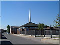
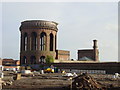
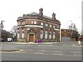
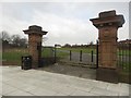
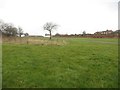
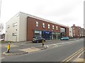
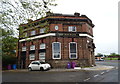
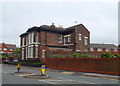
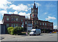
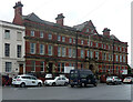
45 photos from this area
Area Information
Key information about the L6 6AY including its size, population, and administrative classification.
- Area Type
- Postcode
- Area Size
- 4218 m²
- Population
- 1960
- Population Density
- 14905 people/km²
House Prices in L6 6AY
41
Properties
£67,365
Average Sold Price
£26,000
Lowest Price
£122,950
Highest Price
Showing 41 properties
| Address | Type | Beds | Baths | Last Sale Price | Last Sale Date | |
|---|---|---|---|---|---|---|
| 29 Mansell Road, Liverpool, L6 6AY | house | - | - | £67,000 | Jul 2025 | |
| 81 Mansell Road, Liverpool, L6 6AY | house | - | - | £115,000 | May 2025 | |
| 33 Mansell Road, Liverpool, L6 6AY | Terraced | 2 | 1 | £87,000 | Mar 2025 | |
| 37 Mansell Road, Liverpool, L6 6AY | Terraced | 2 | 1 | £80,000 | Jul 2024 | |
| 77 Mansell Road, Liverpool, L6 6AY | Terraced | 3 | 1 | £95,000 | Mar 2024 | |
| 59 Mansell Road, Liverpool, L6 6AY | Terraced | 3 | 1 | £85,000 | Nov 2023 | |
| 65 Mansell Road, Liverpool, L6 6AY | Terraced | 3 | 1 | £122,950 | Apr 2021 | |
| 71 Mansell Road, Liverpool, L6 6AY | house | - | - | £95,000 | Feb 2021 | |
| 23 Mansell Road, Liverpool, L6 6AY | Terraced | 4 | 1 | £65,000 | Aug 2019 | |
| 9 Mansell Road, Liverpool, L6 6AY | Terraced | 1 | 1 | £46,000 | Dec 2016 |
Page 1 of 5
Energy Efficiency in L6 6AY
Amenities
Schools
| Rank | School | Type | Entry gender | Ages |
|---|
Explore more schools in this area
Go to Schools tabDemographics
Household Size
One person
most common
Accommodation Type
Houses
most common
Tenure
21
majority
Ethnic Group
White
most common
Religion
N/A
most common
Household Composition
N/A
most common
Age
22
median
Adults (30-64 years)
most common
Household Deprivation
N/A
with no deprivation
NS-SEC
11
in Lower managerial occupations
Explore more demographic insights in this area
Go to Demographics tabPlanning
Planning Constraints
- Flood RiskPremium
- Ramsar Wetland SitesPremium
- Area of Outstanding Natural BeautyPremium
- Protected Nature ReservePremium
- Protected WoodlandPremium