Area Overview for L5 6SE
Photos of L5 6SE


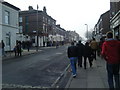
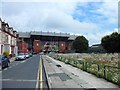
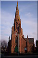
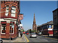

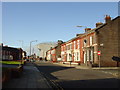
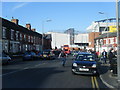
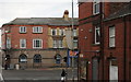
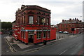
60 photos from this area
Area Information
Key information about the L5 6SE including its size, population, and administrative classification.
- Area Type
- Postcode
- Area Size
- 4484 m²
- Population
- 1484
- Population Density
- 11166 people/km²
House Prices in L5 6SE
28
Properties
£72,183
Average Sold Price
£22,000
Lowest Price
£120,000
Highest Price
Showing 28 properties
| Address | Type | Beds | Baths | Last Sale Price | Last Sale Date | |
|---|---|---|---|---|---|---|
| 55 Heyes Street, Liverpool, L5 6SE | Terraced | 3 | 1 | £80,750 | Jan 2025 | |
| 39 Heyes Street, Liverpool, L5 6SE | Terraced | 3 | 1 | £113,500 | Nov 2022 | |
| 13 Heyes Street, Liverpool, L5 6SE | Terraced | 3 | 1 | £110,000 | Feb 2022 | |
| 49 Heyes Street, Liverpool, L5 6SE | Terraced | 3 | 1 | £120,000 | Jul 2021 | |
| 33 Heyes Street, Liverpool, L5 6SE | Terraced | 2 | 1 | £75,000 | Jun 2021 | |
| 7 Heyes Street, Liverpool, L5 6SE | house | - | - | £97,200 | Nov 2020 | |
| 37 HEYES STREET, Liverpool, L5 6SE | Terraced | 3 | 1 | £61,000 | Sep 2020 | |
| 41 Heyes Street, Liverpool, L5 6SE | Terraced | 3 | 1 | £56,000 | Sep 2019 | |
| 53 Heyes Street, Liverpool, L5 6SE | Terraced | 3 | 1 | £78,000 | Aug 2019 | |
| 5 Heyes Street, Liverpool, L5 6SE | Terraced | 3 | 1 | £66,500 | Mar 2016 |
Page 1 of 3
Energy Efficiency in L5 6SE
Amenities
Schools
| Rank | School | Type | Entry gender | Ages |
|---|
Explore more schools in this area
Go to Schools tabDemographics
Household Size
One person
most common
Accommodation Type
Houses
most common
Tenure
28
majority
Ethnic Group
White
most common
Religion
N/A
most common
Household Composition
N/A
most common
Age
47
median
Adults (30-64 years)
most common
Household Deprivation
N/A
with no deprivation
NS-SEC
11
in Lower managerial occupations
Explore more demographic insights in this area
Go to Demographics tabPlanning
Planning Constraints
- Flood RiskPremium
- Ramsar Wetland SitesPremium
- Area of Outstanding Natural BeautyPremium
- Protected Nature ReservePremium
- Protected WoodlandPremium