Area Overview for L5 6PE
Photos of L5 6PE


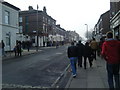
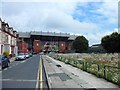
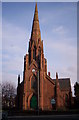
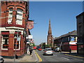
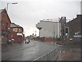
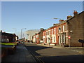
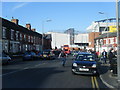
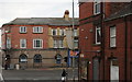
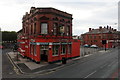
60 photos from this area
Area Information
Key information about the L5 6PE including its size, population, and administrative classification.
- Area Type
- Postcode
- Area Size
- 3391 m²
- Population
- 1484
- Population Density
- 11166 people/km²
House Prices in L5 6PE
35
Properties
£53,627
Average Sold Price
£15,000
Lowest Price
£78,000
Highest Price
Showing 35 properties
| Address | Type | Beds | Baths | Last Sale Price | Last Sale Date | |
|---|---|---|---|---|---|---|
| 37 Handfield Street, Liverpool, L5 6PE | house | - | - | £67,500 | Oct 2022 | |
| 49 Handfield Street, Liverpool, L5 6PE | Terraced | 2 | 1 | £67,000 | May 2022 | |
| 27 Handfield Street, Liverpool, L5 6PE | Terraced | 2 | 1 | £54,500 | Mar 2022 | |
| 41 Handfield Street, Liverpool, L5 6PE | house | 2 | 1 | £68,000 | Jul 2021 | |
| 13 Handfield Street, Liverpool, L5 6PE | Terraced | 2 | 1 | £63,000 | Jan 2021 | |
| 59 Handfield Street, Liverpool, L5 6PE | Terraced | 2 | 1 | £43,000 | Jun 2018 | |
| 65 Handfield Street, Liverpool, L5 6PE | house | - | - | £78,000 | May 2007 | |
| 63 Handfield Street, Liverpool, L5 6PE | house | - | - | £71,000 | Jan 2007 | |
| 43 Handfield Street, Liverpool, L5 6PE | house | - | - | £15,000 | Jul 2006 | |
| 15 Handfield Street, Liverpool, L5 6PE | Terraced | 3 | 1 | £47,000 | Mar 2005 |
Page 1 of 4
Energy Efficiency in L5 6PE
Amenities
Schools
| Rank | School | Type | Entry gender | Ages |
|---|
Explore more schools in this area
Go to Schools tabDemographics
Household Size
One person
most common
Accommodation Type
Houses
most common
Tenure
28
majority
Ethnic Group
White
most common
Religion
N/A
most common
Household Composition
N/A
most common
Age
47
median
Adults (30-64 years)
most common
Household Deprivation
N/A
with no deprivation
NS-SEC
11
in Lower managerial occupations
Explore more demographic insights in this area
Go to Demographics tabPlanning
Planning Constraints
- Flood RiskPremium
- Ramsar Wetland SitesPremium
- Area of Outstanding Natural BeautyPremium
- Protected Nature ReservePremium
- Protected WoodlandPremium