Area Overview for L40 5TD
Photos of L40 5TD
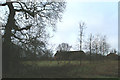
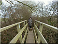
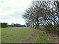
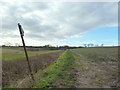
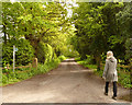
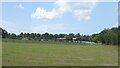
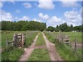
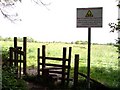
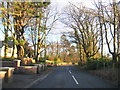
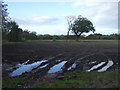
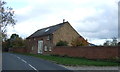
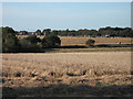
17 photos from this area
Area Information
Key information about the L40 5TD including its size, population, and administrative classification.
- Area Type
- Postcode
- Area Size
- 24.8 hectares
- Population
- 2150
- Population Density
- 687 people/km²
House Prices in L40 5TD
12
Properties
£270,800
Average Sold Price
£10,000
Lowest Price
£750,000
Highest Price
Showing 12 properties
| Address | Type | Beds | Baths | Last Sale Price | Last Sale Date | |
|---|---|---|---|---|---|---|
| Pamama, 2 Flax Lane, Burscough, L40 5TD | Detached | 4 | 2 | £325,000 | Jun 2021 | |
| 6 Flax Lane, Burscough, L40 5TD | Land | - | - | £750,000 | Mar 2021 | |
| Forest View, Flax Lane, Burscough, L40 5TD | Detached | - | - | £10,000 | Sep 2020 | |
| 17 Flax Lane, Burscough, L40 5TD | Semi-detached | 4 | 2 | £310,000 | Jun 2019 | |
| 4 Flax Lane, Burscough, L40 5TD | Land | 4 | - | £300,000 | Oct 2011 | |
| Wynfield, Flax Lane, Burscough, L40 5TD | house | - | - | £495,000 | Nov 2001 | |
| Hatherleigh, 1 Flax Lane, Burscough, L40 5TD | Semi-detached | - | - | £170,000 | Apr 2001 | |
| 15 Flax Lane, Burscough, L40 5TD | Semi-detached | - | - | £120,500 | Aug 2000 | |
| 9 Flax Lane, Burscough, L40 5TD | Detached | - | - | £125,000 | Feb 2000 | |
| Dilkhush, 7 Flax Lane, Burscough, L40 5TD | Detached | - | - | £102,500 | Nov 1998 |
Page 1 of 2
Energy Efficiency in L40 5TD
Amenities
Schools
| Rank | School | Type | Entry gender | Ages |
|---|
Explore more schools in this area
Go to Schools tabDemographics
Household Size
Two person
most common
Accommodation Type
Houses
most common
Tenure
87
majority
Ethnic Group
White
most common
Religion
N/A
most common
Household Composition
N/A
most common
Age
47
median
Adults (30-64 years)
most common
Household Deprivation
N/A
with no deprivation
NS-SEC
40
in Lower managerial occupations
Explore more demographic insights in this area
Go to Demographics tabPlanning
Planning Constraints
- Flood RiskPremium
- Ramsar Wetland SitesPremium
- Area of Outstanding Natural BeautyPremium
- Protected Nature ReservePremium
- Protected WoodlandPremium