Area Overview for L40 4BX
Photos of L40 4BX

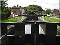
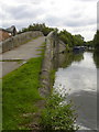
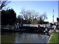
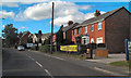
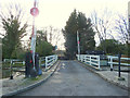
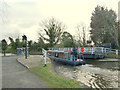
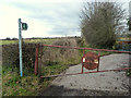
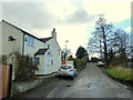
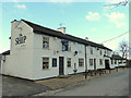
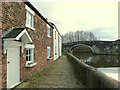
67 photos from this area
Area Information
Key information about the L40 4BX including its size, population, and administrative classification.
- Area Type
- Postcode
- Area Size
- 4.5 hectares
- Population
- 2025
- Population Density
- 97 people/km²
House Prices in L40 4BX
13
Properties
£267,638
Average Sold Price
£115,000
Lowest Price
£470,000
Highest Price
Showing 13 properties
| Address | Type | Beds | Baths | Last Sale Price | Last Sale Date | |
|---|---|---|---|---|---|---|
| 18 Wheat Lane, Lathom, L40 4BX | house | - | - | £364,000 | Dec 2022 | |
| 8 Wheat Lane, Lathom, L40 4BX | house | - | - | £260,000 | Oct 2022 | |
| 22 Wheat Lane, Lathom, L40 4BX | house | - | - | £336,500 | Jan 2022 | |
| 16 Wheat Lane, Lathom, L40 4BX | Semi-detached | 2 | 1 | £240,000 | Sep 2016 | |
| 24 Wheat Lane, Lathom, L40 4BX | Semi-detached | 2 | - | £235,000 | Jul 2012 | |
| Glovers Bridge Cottage, Wheat Lane, Lathom, L40 4BX | Detached | - | - | £470,000 | Jan 2007 | |
| 10 Wheat Lane, Lathom, L40 4BX | Terraced | 3 | - | £120,600 | Feb 2004 | |
| 14 Wheat Lane, Lathom, L40 4BX | house | - | - | £115,000 | Jan 2003 | |
| The Moorings, 34 Wheat Lane, Lathom, L40 4BX | Bungalow | 4 | 3 | - | - | |
| 26 Wheat Lane, Lathom, L40 4BX | house | - | - | - | - |
Page 1 of 2
Energy Efficiency in L40 4BX
Amenities
Schools
| Rank | School | Type | Entry gender | Ages |
|---|
Explore more schools in this area
Go to Schools tabDemographics
Household Size
Two person
most common
Accommodation Type
Houses
most common
Tenure
87
majority
Ethnic Group
White
most common
Religion
N/A
most common
Household Composition
N/A
most common
Age
47
median
Adults (30-64 years)
most common
Household Deprivation
N/A
with no deprivation
NS-SEC
45
in Lower managerial occupations
Explore more demographic insights in this area
Go to Demographics tabPlanning
Planning Constraints
- Flood RiskPremium
- Ramsar Wetland SitesPremium
- Area of Outstanding Natural BeautyPremium
- Protected Nature ReservePremium
- Protected WoodlandPremium