Area Overview for L4 9SJ
Photos of L4 9SJ
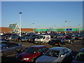
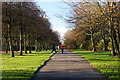
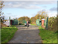
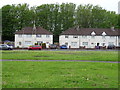

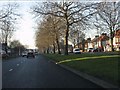
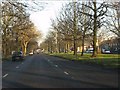
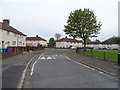
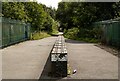
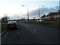
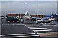
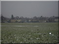
12 photos from this area
Area Information
Key information about the L4 9SJ including its size, population, and administrative classification.
- Area Type
- Postcode
- Area Size
- 1.0 hectares
- Population
- 1439
- Population Density
- 5037 people/km²
House Prices in L4 9SJ
41
Properties
£98,833
Average Sold Price
£36,000
Lowest Price
£131,000
Highest Price
Showing 41 properties
| Address | Type | Beds | Baths | Last Sale Price | Last Sale Date | |
|---|---|---|---|---|---|---|
| 38 Abingdon Road, Liverpool, L4 9SJ | house | - | - | £130,000 | Aug 2023 | |
| 50 Abingdon Road, Liverpool, L4 9SJ | house | 3 | - | £131,000 | Jun 2021 | |
| 82 Abingdon Road, Liverpool, L4 9SJ | house | - | - | £120,000 | May 2021 | |
| 2 Abingdon Road, Liverpool, L4 9SJ | house | - | - | £110,000 | Nov 2020 | |
| 14 Abingdon Road, Liverpool, L4 9SJ | house | - | - | £90,000 | Jan 2020 | |
| 52 Abingdon Road, Liverpool, L4 9SJ | Terraced | 3 | 1 | £91,500 | May 2018 | |
| 34 Abingdon Road, Liverpool, L4 9SJ | Terraced | 3 | 1 | £61,000 | Oct 2015 | |
| 44 Abingdon Road, Liverpool, L4 9SJ | house | - | - | £120,000 | Mar 2007 | |
| 72 Abingdon Road, Liverpool, L4 9SJ | house | - | - | £36,000 | Dec 1999 | |
| 22 Abingdon Road, Liverpool, L4 9SJ | Terraced | 3 | 1 | - | - |
Page 1 of 5
Energy Efficiency in L4 9SJ
Amenities
Schools
| Rank | School | Type | Entry gender | Ages |
|---|
Explore more schools in this area
Go to Schools tabDemographics
Household Size
One person
most common
Accommodation Type
Houses
most common
Tenure
36
majority
Ethnic Group
White
most common
Religion
N/A
most common
Household Composition
N/A
most common
Age
47
median
Adults (30-64 years)
most common
Household Deprivation
N/A
with no deprivation
NS-SEC
16
in Lower managerial occupations
Explore more demographic insights in this area
Go to Demographics tabPlanning
Planning Constraints
- Flood RiskPremium
- Ramsar Wetland SitesPremium
- Area of Outstanding Natural BeautyPremium
- Protected Nature ReservePremium
- Protected WoodlandPremium