Area Overview for L4 7TG
Photos of L4 7TG
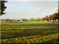
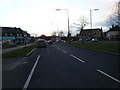
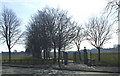
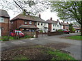
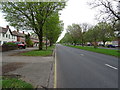
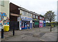
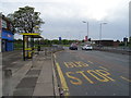
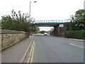
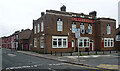
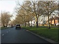
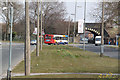
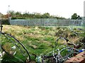
16 photos from this area
Area Information
Key information about the L4 7TG including its size, population, and administrative classification.
- Area Type
- Postcode
- Area Size
- 1.2 hectares
- Population
- 1138
- Population Density
- 7648 people/km²
House Prices in L4 7TG
32
Properties
£99,140
Average Sold Price
£45,000
Lowest Price
£170,000
Highest Price
Showing 32 properties
| Address | Type | Beds | Baths | Last Sale Price | Last Sale Date | |
|---|---|---|---|---|---|---|
| 57 Hildebrand Road, Liverpool, L4 7TG | Semi-detached | 3 | 1 | £168,000 | Nov 2023 | |
| 63 Hildebrand Road, Liverpool, L4 7TG | Semi-detached | 3 | 1 | £120,000 | Oct 2023 | |
| 55 Hildebrand Road, Liverpool, L4 7TG | house | - | - | £160,000 | Jan 2022 | |
| 11 Hildebrand Road, Liverpool, L4 7TG | Semi-detached | 4 | 1 | £170,000 | Sep 2021 | |
| 49 Hildebrand Road, Liverpool, L4 7TG | house | 3 | - | £90,500 | Nov 2019 | |
| 27 Hildebrand Road, Liverpool, L4 7TG | Semi-detached | 4 | 1 | £118,000 | Mar 2019 | |
| 15 Hildebrand Road, Liverpool, L4 7TG | Semi-detached | 3 | - | £116,000 | Nov 2018 | |
| 1 Hildebrand Road, Liverpool, L4 7TG | house | 4 | - | £74,000 | Oct 2018 | |
| 51 Hildebrand Road, Liverpool, L4 7TG | Semi-detached | 3 | 1 | £134,000 | Aug 2017 | |
| 21 Hildebrand Road, Liverpool, L4 7TG | Semi-detached | 3 | 1 | £99,000 | Apr 2015 |
Page 1 of 4
Energy Efficiency in L4 7TG
Amenities
Schools
| Rank | School | Type | Entry gender | Ages |
|---|
Explore more schools in this area
Go to Schools tabDemographics
Household Size
Family (3-5 people)
most common
Accommodation Type
Houses
most common
Tenure
82
majority
Ethnic Group
White
most common
Religion
N/A
most common
Household Composition
N/A
most common
Age
47
median
Adults (30-64 years)
most common
Household Deprivation
N/A
with no deprivation
NS-SEC
26
in Lower managerial occupations
Explore more demographic insights in this area
Go to Demographics tabPlanning
Planning Constraints
- Flood RiskPremium
- Ramsar Wetland SitesPremium
- Area of Outstanding Natural BeautyPremium
- Protected Nature ReservePremium
- Protected WoodlandPremium