Area Overview for L4 5TA
Photos of L4 5TA
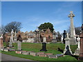
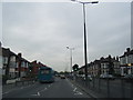
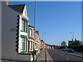
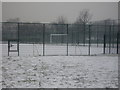
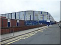
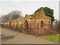
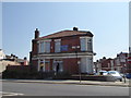
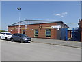
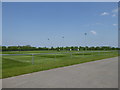
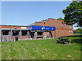
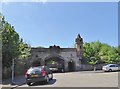
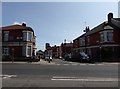
33 photos from this area
Area Information
Key information about the L4 5TA including its size, population, and administrative classification.
- Area Type
- Postcode
- Area Size
- 2990 m²
- Population
- 1113
- Population Density
- 14018 people/km²
House Prices in L4 5TA
24
Properties
£85,014
Average Sold Price
£30,000
Lowest Price
£136,000
Highest Price
Showing 24 properties
| Address | Type | Beds | Baths | Last Sale Price | Last Sale Date | |
|---|---|---|---|---|---|---|
| 22 Swanston Avenue, Liverpool, L4 5TA | Terraced | 3 | 1 | £136,000 | Jul 2024 | |
| 8 Swanston Avenue, Liverpool, L4 5TA | Terraced | 3 | 1 | £85,000 | Nov 2023 | |
| 17 Swanston Avenue, Liverpool, L4 5TA | Terraced | 4 | 1 | £130,150 | Oct 2023 | |
| 5 Swanston Avenue, Liverpool, L4 5TA | Terraced | 3 | 1 | £102,500 | Jul 2023 | |
| 28 Swanston Avenue, Liverpool, L4 5TA | house | 3 | 1 | £90,000 | May 2022 | |
| 26 Swanston Avenue, Liverpool, L4 5TA | house | - | - | £100,000 | Jan 2022 | |
| 6 Swanston Avenue, Liverpool, L4 5TA | house | - | - | £71,500 | May 2021 | |
| 24 Swanston Avenue, Liverpool, L4 5TA | house | 3 | 1 | £83,000 | Mar 2021 | |
| 9 Swanston Avenue, Liverpool, L4 5TA | house | - | - | £75,000 | Jan 2021 | |
| 20 Swanston Avenue, Liverpool, L4 5TA | Terraced | - | - | £32,000 | Jan 1999 |
Page 1 of 3
Energy Efficiency in L4 5TA
Amenities
Schools
| Rank | School | Type | Entry gender | Ages |
|---|
Explore more schools in this area
Go to Schools tabDemographics
Household Size
One person
most common
Accommodation Type
Houses
most common
Tenure
45
majority
Ethnic Group
White
most common
Religion
N/A
most common
Household Composition
N/A
most common
Age
47
median
Adults (30-64 years)
most common
Household Deprivation
N/A
with no deprivation
NS-SEC
15
in Lower managerial occupations
Explore more demographic insights in this area
Go to Demographics tabPlanning
Planning Constraints
- Flood RiskPremium
- Ramsar Wetland SitesPremium
- Area of Outstanding Natural BeautyPremium
- Protected Nature ReservePremium
- Protected WoodlandPremium