Area Overview for L4 3RJ
Photos of L4 3RJ
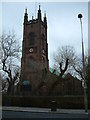
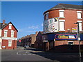
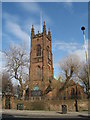
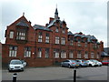
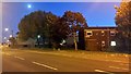
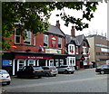
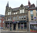
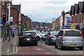
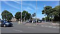
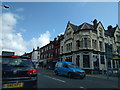
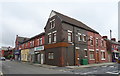
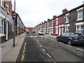
72 photos from this area
Area Information
Key information about the L4 3RJ including its size, population, and administrative classification.
- Area Type
- Postcode
- Area Size
- 3531 m²
- Population
- 1571
- Population Density
- 10738 people/km²
House Prices in L4 3RJ
24
Properties
£138,743
Average Sold Price
£15,000
Lowest Price
£1,040,000
Highest Price
Showing 24 properties
| Address | Type | Beds | Baths | Last Sale Price | Last Sale Date | |
|---|---|---|---|---|---|---|
| 28 Harlech Street, Liverpool, L4 3RJ | house | - | - | £86,200 | May 2023 | |
| 12 Harlech Street, Liverpool, L4 3RJ | Terraced | - | - | £77,500 | Dec 2022 | |
| 5 Harlech Street, Liverpool, L4 3RJ | house | - | - | £138,000 | Nov 2021 | |
| 9 Harlech Street, Liverpool, L4 3RJ | Detached | 4 | 2 | £132,000 | Feb 2021 | |
| 11 Harlech Street, Liverpool, L4 3RJ | Terraced | 4 | 2 | £135,000 | Nov 2020 | |
| 14 Harlech Street, Liverpool, L4 3RJ | Terraced | 3 | 1 | £75,000 | Jan 2020 | |
| 7 Harlech Street, Liverpool, L4 3RJ | Detached | 4 | 2 | £50,000 | Apr 2017 | |
| 30 Harlech Street, Liverpool, L4 3RJ | house | 3 | - | £1,040,000 | May 2016 | |
| 6 Harlech Street, Liverpool, L4 3RJ | Flat | 1 | 1 | £59,000 | Feb 2012 | |
| 22 Harlech Street, Liverpool, L4 3RJ | house | - | - | £75,000 | Oct 2011 |
Page 1 of 3
Energy Efficiency in L4 3RJ
Amenities
Schools
| Rank | School | Type | Entry gender | Ages |
|---|
Explore more schools in this area
Go to Schools tabDemographics
Household Size
One person
most common
Accommodation Type
Houses
most common
Tenure
38
majority
Ethnic Group
White
most common
Religion
N/A
most common
Household Composition
N/A
most common
Age
47
median
Adults (30-64 years)
most common
Household Deprivation
N/A
with no deprivation
NS-SEC
16
in Lower managerial occupations
Explore more demographic insights in this area
Go to Demographics tabPlanning
Planning Constraints
- Flood RiskPremium
- Ramsar Wetland SitesPremium
- Area of Outstanding Natural BeautyPremium
- Protected Nature ReservePremium
- Protected WoodlandPremium