Area Overview for L4 2UW
Photos of L4 2UW
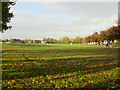
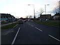
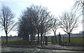
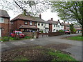
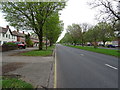
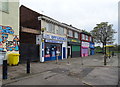
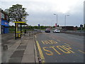
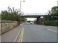
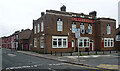
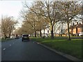
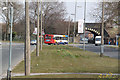
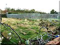
16 photos from this area
Area Information
Key information about the L4 2UW including its size, population, and administrative classification.
- Area Type
- Postcode
- Area Size
- 3929 m²
- Population
- 1629
- Population Density
- 10896 people/km²
House Prices in L4 2UW
31
Properties
£71,525
Average Sold Price
£19,500
Lowest Price
£135,000
Highest Price
Showing 31 properties
| Address | Type | Beds | Baths | Last Sale Price | Last Sale Date | |
|---|---|---|---|---|---|---|
| 59 Armley Road, Liverpool, L4 2UW | Terraced | 2 | 1 | £89,000 | Mar 2025 | |
| 64 Armley Road, Liverpool, L4 2UW | Terraced | 3 | 1 | £135,000 | Aug 2023 | |
| 61 Armley Road, Liverpool, L4 2UW | house | - | - | £105,000 | Sep 2022 | |
| 51 Armley Road, Liverpool, L4 2UW | house | - | - | £96,000 | Feb 2022 | |
| 53 Armley Road, Liverpool, L4 2UW | Terraced | 2 | 1 | £39,995 | Jun 2018 | |
| 54 Armley Road, Liverpool, L4 2UW | Terraced | 3 | 1 | £70,000 | Jan 2017 | |
| 72 Armley Road, Liverpool, L4 2UW | Terraced | 3 | 1 | £70,000 | Jun 2015 | |
| 70 Armley Road, Liverpool, L4 2UW | Terraced | 3 | - | £68,600 | Dec 2014 | |
| 56 Armley Road, Liverpool, L4 2UW | house | - | - | £94,000 | Nov 2006 | |
| 63 Armley Road, Liverpool, L4 2UW | Terraced | 3 | 1 | £88,000 | May 2006 |
Page 1 of 4
Energy Efficiency in L4 2UW
Amenities
Schools
| Rank | School | Type | Entry gender | Ages |
|---|
Explore more schools in this area
Go to Schools tabDemographics
Household Size
Family (3-5 people)
most common
Accommodation Type
Houses
most common
Tenure
28
majority
Ethnic Group
White
most common
Religion
N/A
most common
Household Composition
N/A
most common
Age
47
median
Adults (30-64 years)
most common
Household Deprivation
N/A
with no deprivation
NS-SEC
15
in Lower managerial occupations
Explore more demographic insights in this area
Go to Demographics tabPlanning
Planning Constraints
- Flood RiskPremium
- Ramsar Wetland SitesPremium
- Area of Outstanding Natural BeautyPremium
- Protected Nature ReservePremium
- Protected WoodlandPremium