Area Overview for L4 2US
Photos of L4 2US
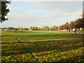
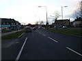
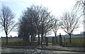
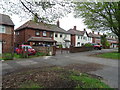
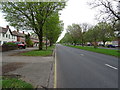
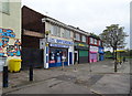
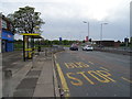
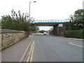
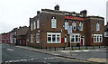
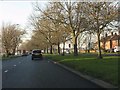
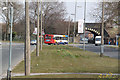
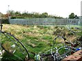
16 photos from this area
Area Information
Key information about the L4 2US including its size, population, and administrative classification.
- Area Type
- Postcode
- Area Size
- 3424 m²
- Population
- 1629
- Population Density
- 10896 people/km²
House Prices in L4 2US
32
Properties
£59,545
Average Sold Price
£22,000
Lowest Price
£110,000
Highest Price
Showing 32 properties
| Address | Type | Beds | Baths | Last Sale Price | Last Sale Date | |
|---|---|---|---|---|---|---|
| 93 Holbeck Street, Liverpool, L4 2US | house | - | - | £110,000 | Oct 2024 | |
| 98 Holbeck Street, Liverpool, L4 2US | house | 2 | 2 | £75,000 | Jan 2024 | |
| 76 Holbeck Street, Liverpool, L4 2US | Terraced | 2 | - | £73,000 | Nov 2022 | |
| 81 Holbeck Street, Liverpool, L4 2US | Terraced | 3 | 1 | £105,000 | Jul 2021 | |
| 86 Holbeck Street, Liverpool, L4 2US | house | - | - | £80,500 | Dec 2020 | |
| 84 Holbeck Street, Liverpool, L4 2US | Terraced | 3 | 1 | £55,000 | Nov 2020 | |
| 92 Holbeck Street, Liverpool, L4 2US | Terraced | 2 | 1 | £45,000 | Mar 2018 | |
| 83 Holbeck Street, Liverpool, L4 2US | Terraced | 3 | 1 | £59,500 | Sep 2017 | |
| 85 Holbeck Street, Liverpool, L4 2US | house | - | - | £45,500 | Oct 2015 | |
| 82 Holbeck Street, Liverpool, L4 2US | Terraced | - | - | £24,273 | Jun 2015 |
Page 1 of 4
Energy Efficiency in L4 2US
Amenities
Schools
| Rank | School | Type | Entry gender | Ages |
|---|
Explore more schools in this area
Go to Schools tabDemographics
Household Size
Family (3-5 people)
most common
Accommodation Type
Houses
most common
Tenure
28
majority
Ethnic Group
White
most common
Religion
N/A
most common
Household Composition
N/A
most common
Age
47
median
Adults (30-64 years)
most common
Household Deprivation
N/A
with no deprivation
NS-SEC
15
in Lower managerial occupations
Explore more demographic insights in this area
Go to Demographics tabPlanning
Planning Constraints
- Flood RiskPremium
- Ramsar Wetland SitesPremium
- Area of Outstanding Natural BeautyPremium
- Protected Nature ReservePremium
- Protected WoodlandPremium