Area Overview for L4 0UH
Photos of L4 0UH


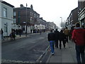
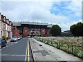
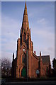
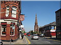
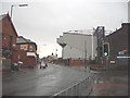
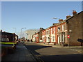
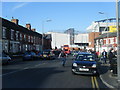
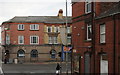
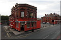

60 photos from this area
Area Information
Key information about the L4 0UH including its size, population, and administrative classification.
- Area Type
- Postcode
- Area Size
- 6673 m²
- Population
- 1338
- Population Density
- 12076 people/km²
House Prices in L4 0UH
11
Properties
£75,500
Average Sold Price
£26,000
Lowest Price
£104,000
Highest Price
Showing 11 properties
| Address | Type | Beds | Baths | Last Sale Price | Last Sale Date | |
|---|---|---|---|---|---|---|
| 158 Oakfield Road, Liverpool, L4 0UH | Flat | 1 | 1 | £104,000 | May 2023 | |
| 156 Oakfield Road, Liverpool, L4 0UH | Terraced | 3 | - | £80,000 | Jan 2019 | |
| 160 Oakfield Road, Liverpool, L4 0UH | house | - | - | £92,000 | May 2006 | |
| 184A Oakfield Road, Liverpool, L4 0UH | Flat | - | - | £26,000 | Oct 1997 | |
| Fashions, 180 Oakfield Road, Liverpool, L4 0UH | Terraced | - | - | - | - | |
| 166-182 Oakfield Road, Liverpool, L4 0UH | hotel | - | - | - | - | |
| The Sandon, 178-182 Oakfield Road, Liverpool, L4 0UH | restaurant_cafe | - | - | - | - | |
| 166A Oakfield Road, Liverpool, L4 0UH | Flat | - | - | - | - | |
| Morrisons, Petrol Filling Station, Walton Breck Road, Liverpool, L4 0UH | shop | - | - | - | - | |
| The Church, 148-152 Oakfield Road, Liverpool, L4 0UH | Leisure | - | - | - | - |
Page 1 of 2
Energy Efficiency in L4 0UH
Amenities
Schools
| Rank | School | Type | Entry gender | Ages |
|---|
Explore more schools in this area
Go to Schools tabDemographics
Household Size
One person
most common
Accommodation Type
Houses
most common
Tenure
46
majority
Ethnic Group
White
most common
Religion
N/A
most common
Household Composition
N/A
most common
Age
47
median
Adults (30-64 years)
most common
Household Deprivation
N/A
with no deprivation
NS-SEC
17
in Lower managerial occupations
Explore more demographic insights in this area
Go to Demographics tabPlanning
Planning Constraints
- Flood RiskPremium
- Ramsar Wetland SitesPremium
- Area of Outstanding Natural BeautyPremium
- Protected Nature ReservePremium
- Protected WoodlandPremium