Area Overview for L4 0RY
Photos of L4 0RY
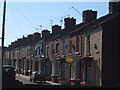
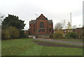
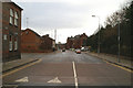
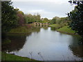
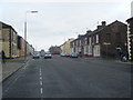
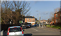
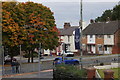
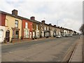
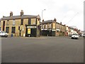
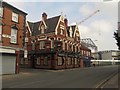
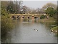
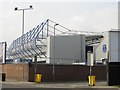
100 photos from this area
Area Information
Key information about the L4 0RY including its size, population, and administrative classification.
- Area Type
- Postcode
- Area Size
- 4063 m²
- Population
- 1304
- Population Density
- 12302 people/km²
House Prices in L4 0RY
41
Properties
£46,043
Average Sold Price
£12,500
Lowest Price
£134,450
Highest Price
Showing 41 properties
| Address | Type | Beds | Baths | Last Sale Price | Last Sale Date | |
|---|---|---|---|---|---|---|
| 29 Blessington Road, Liverpool, L4 0RY | Terraced | 3 | 1 | £83,000 | Aug 2024 | |
| 47 Blessington Road, Liverpool, L4 0RY | house | - | - | £93,000 | Sep 2022 | |
| 9 Blessington Road, Liverpool, L4 0RY | house | 3 | - | £134,450 | Sep 2022 | |
| 35 Blessington Road, Liverpool, L4 0RY | Terraced | 3 | 1 | £45,000 | Dec 2018 | |
| 51 Blessington Road, Liverpool, L4 0RY | Terraced | 4 | - | £60,000 | Apr 2017 | |
| 45 Blessington Road, Liverpool, L4 0RY | house | - | - | £39,000 | Jul 2014 | |
| 37 Blessington Road, Liverpool, L4 0RY | Terraced | 3 | 1 | £30,750 | May 2014 | |
| 31 Blessington Road, Liverpool, L4 0RY | Terraced | 3 | - | £41,500 | Nov 2012 | |
| 3 Blessington Road, Liverpool, L4 0RY | Terraced | 3 | 1 | £40,000 | Aug 2012 | |
| 52 Blessington Road, Liverpool, L4 0RY | Terraced | - | - | £49,995 | Jun 2005 |
Page 1 of 5
Energy Efficiency in L4 0RY
Amenities
Schools
| Rank | School | Type | Entry gender | Ages |
|---|
Explore more schools in this area
Go to Schools tabDemographics
Household Size
One person
most common
Accommodation Type
Houses
most common
Tenure
24
majority
Ethnic Group
White
most common
Religion
N/A
most common
Household Composition
N/A
most common
Age
47
median
Adults (30-64 years)
most common
Household Deprivation
N/A
with no deprivation
NS-SEC
12
in Lower managerial occupations
Explore more demographic insights in this area
Go to Demographics tabPlanning
Planning Constraints
- Flood RiskPremium
- Ramsar Wetland SitesPremium
- Area of Outstanding Natural BeautyPremium
- Protected Nature ReservePremium
- Protected WoodlandPremium