Area Overview for L39 9EG
Photos of L39 9EG
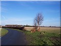
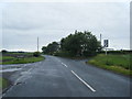
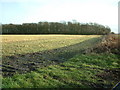
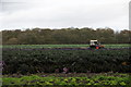
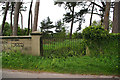
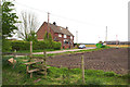

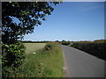
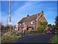
11 photos from this area
Area Information
Key information about the L39 9EG including its size, population, and administrative classification.
- Area Type
- Postcode
- Area Size
- 1.1 km²
- Population
- 2158
- Population Density
- 58 people/km²
House Prices in L39 9EG
13
Properties
£465,000
Average Sold Price
£465,000
Lowest Price
£465,000
Highest Price
Showing 13 properties
| Address | Type | Beds | Baths | Last Sale Price | Last Sale Date | |
|---|---|---|---|---|---|---|
| Knoll Brook, Graveyard Lane, Bickerstaffe, L39 9EG | Semi-detached | 3 | 2 | £465,000 | Jul 2023 | |
| Ashcrofts Farm, Graveyard Lane, Bickerstaffe, L39 9EG | house | 5 | 1 | - | - | |
| 2, Wynwood, Graveyard Cottages, Graveyard Lane, Bickerstaffe, L39 9EG | Industrial | - | - | - | - | |
| Flat 1, Lily House, Graveyard Lane, Bickerstaffe, L39 9EG | Flat | - | - | - | - | |
| Piling Plant Co Ltd, Unit 2, Graveyard Lane, Bickerstaffe, L39 9EG | Industrial | - | - | - | - | |
| The Cottage, Boundary Farm, Graveyard Lane, Bickerstaffe, L39 9EG | Detached | - | - | - | - | |
| Total Piling Ltd, Office 4, Unit 2, Graveyard Lane, Bickerstaffe, L39 9EG | Office | - | - | - | - | |
| Workshop, Unit 2, Graveyard Lane, Bickerstaffe, L39 9EG | office_workshop | - | - | - | - | |
| Piling Plant Co Ltd, Office 3, Unit 2, Graveyard Lane, Bickerstaffe, L39 9EG | Office | - | - | - | - | |
| Piling Plant Co Ltd, Office 1, Unit 2, Graveyard Lane, Bickerstaffe, L39 9EG | Office | - | - | - | - |
Page 1 of 2
Energy Efficiency in L39 9EG
Amenities
Schools
| Rank | School | Type | Entry gender | Ages |
|---|
Explore more schools in this area
Go to Schools tabDemographics
Household Size
Two person
most common
Accommodation Type
Houses
most common
Tenure
80
majority
Ethnic Group
White
most common
Religion
N/A
most common
Household Composition
N/A
most common
Age
47
median
Adults (30-64 years)
most common
Household Deprivation
N/A
with no deprivation
NS-SEC
37
in Lower managerial occupations
Explore more demographic insights in this area
Go to Demographics tabPlanning
Planning Constraints
- Flood RiskPremium
- Ramsar Wetland SitesPremium
- Area of Outstanding Natural BeautyPremium
- Protected Nature ReservePremium
- Protected WoodlandPremium