Area Overview for L39 6RR
Photos of L39 6RR
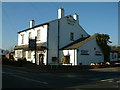
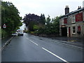
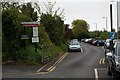

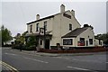
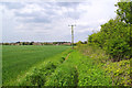
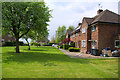
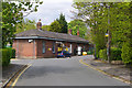

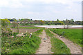

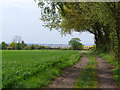
26 photos from this area
Area Information
Key information about the L39 6RR including its size, population, and administrative classification.
- Area Type
- Postcode
- Area Size
- 2.1 hectares
- Population
- 1450
- Population Density
- 294 people/km²
House Prices in L39 6RR
26
Properties
£420,538
Average Sold Price
£130,000
Lowest Price
£870,000
Highest Price
Showing 26 properties
| Address | Type | Beds | Baths | Last Sale Price | Last Sale Date | |
|---|---|---|---|---|---|---|
| 296 Prescot Road, Aughton, L39 6RR | Detached | 4 | 5 | £870,000 | Mar 2025 | |
| 300 Prescot Road, Aughton, L39 6RR | Semi-detached | 2 | 1 | £346,000 | Jan 2025 | |
| 280 Prescot Road, Aughton, L39 6RR | Detached | 4 | 2 | £650,000 | Oct 2024 | |
| 302 Prescot Road, Aughton, L39 6RR | Bungalow | - | - | £247,500 | May 2021 | |
| 298 Prescot Road, Aughton, L39 6RR | Detached | 4 | - | £450,000 | Nov 2019 | |
| 294 Prescot Road, Aughton, L39 6RR | Detached | 4 | 3 | £475,000 | Jan 2019 | |
| 310 Prescot Road, Aughton, L39 6RR | Detached | 4 | - | £600,000 | Jan 2018 | |
| 288 Prescot Road, Aughton, L39 6RR | Detached | 5 | - | £450,000 | Jan 2018 | |
| 284 Prescot Road, Aughton, L39 6RR | Detached | 4 | - | £360,000 | Jun 2017 | |
| 306 Prescot Road, Aughton, L39 6RR | Detached | 4 | - | £455,000 | Jun 2016 |
Page 1 of 3
Energy Efficiency in L39 6RR
Amenities
Schools
| Rank | School | Type | Entry gender | Ages |
|---|
Explore more schools in this area
Go to Schools tabDemographics
Household Size
Two person
most common
Accommodation Type
Houses
most common
Tenure
95
majority
Ethnic Group
White
most common
Religion
N/A
most common
Household Composition
N/A
most common
Age
47
median
Adults (30-64 years)
most common
Household Deprivation
N/A
with no deprivation
NS-SEC
52
in Lower managerial occupations
Explore more demographic insights in this area
Go to Demographics tabPlanning
Planning Constraints
- Flood RiskPremium
- Ramsar Wetland SitesPremium
- Area of Outstanding Natural BeautyPremium
- Protected Nature ReservePremium
- Protected WoodlandPremium