Area Overview for L37 2LG
Photos of L37 2LG
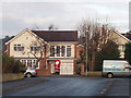
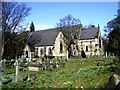
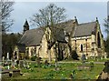
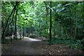
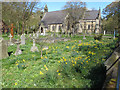
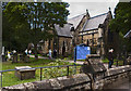
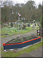
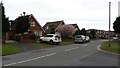
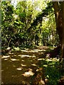
41 photos from this area
Area Information
Key information about the L37 2LG including its size, population, and administrative classification.
- Area Type
- Postcode
- Area Size
- 9019 m²
- Population
- 1447
- Population Density
- 1823 people/km²
House Prices in L37 2LG
13
Properties
£244,600
Average Sold Price
£105,000
Lowest Price
£325,000
Highest Price
Showing 13 properties
| Address | Type | Beds | Baths | Last Sale Price | Last Sale Date | |
|---|---|---|---|---|---|---|
| 4 Ashdale Close, Formby, L37 2LG | Detached | 3 | 2 | £325,000 | Nov 2023 | |
| 3 Ashdale Close, Formby, L37 2LG | Detached | 3 | 2 | £276,000 | Mar 2021 | |
| 11 Ashdale Close, Formby, L37 2LG | Bungalow | - | - | £282,500 | Sep 2020 | |
| 8 Ashdale Close, Formby, L37 2LG | house | - | - | £275,000 | Aug 2020 | |
| 9 Ashdale Close, Formby, L37 2LG | Bungalow | 3 | - | £293,500 | Nov 2017 | |
| 14 Ashdale Close, Formby, L37 2LG | Bungalow | - | - | £275,000 | Aug 2017 | |
| 12 Ashdale Close, Formby, L37 2LG | Bungalow | - | - | £295,000 | Jun 2017 | |
| 10 Ashdale Close, Formby, L37 2LG | Bungalow | - | - | £201,000 | Dec 2009 | |
| 1 Ashdale Close, Formby, L37 2LG | Detached | 3 | - | £118,000 | Oct 2000 | |
| 2 Ashdale Close, Formby, L37 2LG | Detached | - | - | £105,000 | Apr 1995 |
Page 1 of 2
Energy Efficiency in L37 2LG
Amenities
Schools
| Rank | School | Type | Entry gender | Ages |
|---|
Explore more schools in this area
Go to Schools tabDemographics
Household Size
Two person
most common
Accommodation Type
Houses
most common
Tenure
95
majority
Ethnic Group
White
most common
Religion
N/A
most common
Household Composition
N/A
most common
Age
47
median
Adults (30-64 years)
most common
Household Deprivation
N/A
with no deprivation
NS-SEC
49
in Lower managerial occupations
Explore more demographic insights in this area
Go to Demographics tabPlanning
Planning Constraints
- Flood RiskPremium
- Ramsar Wetland SitesPremium
- Area of Outstanding Natural BeautyPremium
- Protected Nature ReservePremium
- Protected WoodlandPremium