Area Overview for L37 2DG
Photos of L37 2DG
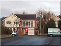
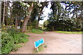
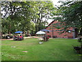
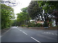
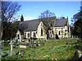
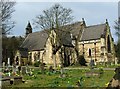
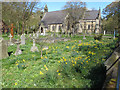
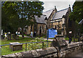
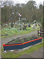
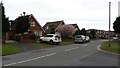
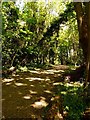
41 photos from this area
Area Information
Key information about the L37 2DG including its size, population, and administrative classification.
- Area Type
- Postcode
- Area Size
- 1.3 hectares
- Population
- 1447
- Population Density
- 1823 people/km²
House Prices in L37 2DG
20
Properties
£311,750
Average Sold Price
£97,000
Lowest Price
£490,000
Highest Price
Showing 20 properties
| Address | Type | Beds | Baths | Last Sale Price | Last Sale Date | |
|---|---|---|---|---|---|---|
| 3 Beechwood Drive, Formby, L37 2DG | Detached | 4 | 2 | £485,000 | Jun 2025 | |
| 12 Beechwood Drive, Formby, L37 2DG | house | 4 | 2 | £490,000 | Mar 2025 | |
| 1 Beechwood Drive, Formby, L37 2DG | house | - | - | £480,000 | Aug 2024 | |
| 5 Beechwood Drive, Formby, L37 2DG | house | - | - | £406,000 | Aug 2023 | |
| 25 Beechwood Drive, Formby, L37 2DG | house | - | - | £290,000 | Jan 2016 | |
| 7 Beechwood Drive, Formby, L37 2DG | Bungalow | - | - | £250,000 | Sep 2010 | |
| 15 Beechwood Drive, Formby, L37 2DG | Bungalow | - | - | £215,000 | Sep 2009 | |
| 4 Beechwood Drive, Formby, L37 2DG | Detached | - | - | £249,500 | Oct 2004 | |
| 16 Beechwood Drive, Formby, L37 2DG | Bungalow | - | - | £155,000 | Jan 2000 | |
| 2 Beechwood Drive, Formby, L37 2DG | Detached | 4 | - | £97,000 | Aug 1996 |
Page 1 of 2
Energy Efficiency in L37 2DG
Amenities
Schools
| Rank | School | Type | Entry gender | Ages |
|---|
Explore more schools in this area
Go to Schools tabDemographics
Household Size
Two person
most common
Accommodation Type
Houses
most common
Tenure
95
majority
Ethnic Group
White
most common
Religion
N/A
most common
Household Composition
N/A
most common
Age
47
median
Adults (30-64 years)
most common
Household Deprivation
N/A
with no deprivation
NS-SEC
49
in Lower managerial occupations
Explore more demographic insights in this area
Go to Demographics tabPlanning
Planning Constraints
- Flood RiskPremium
- Ramsar Wetland SitesPremium
- Area of Outstanding Natural BeautyPremium
- Protected Nature ReservePremium
- Protected WoodlandPremium