Area Overview for L37 1LJ
Photos of L37 1LJ
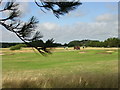
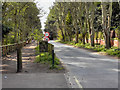

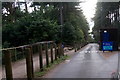
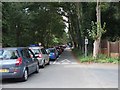
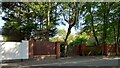
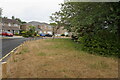
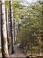
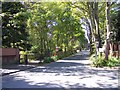
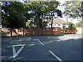
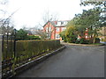
22 photos from this area
Area Information
Key information about the L37 1LJ including its size, population, and administrative classification.
- Area Type
- Postcode
- Area Size
- 5.0 hectares
- Population
- 1344
- Population Density
- 607 people/km²
House Prices in L37 1LJ
14
Properties
£687,499
Average Sold Price
£122,500
Lowest Price
£1,400,000
Highest Price
Showing 14 properties
| Address | Type | Beds | Baths | Last Sale Price | Last Sale Date | |
|---|---|---|---|---|---|---|
| 93 Victoria Road, Formby, L37 1LJ | house | 4 | 3 | £1,400,000 | Jun 2024 | |
| 83 Victoria Road, Formby, L37 1LJ | Detached | 5 | 4 | £1,350,000 | Apr 2022 | |
| 77 Victoria Road, Formby, L37 1LJ | Detached | 4 | 1 | £565,000 | Sep 2020 | |
| 85 Victoria Road, Formby, L37 1LJ | house | - | - | £499,995 | May 2010 | |
| 95 Victoria Road, Formby, L37 1LJ | Detached | - | - | £590,000 | Nov 2007 | |
| 89 Victoria Road, Formby, L37 1LJ | Semi-detached | - | - | £122,500 | Jan 1999 | |
| 97 Victoria Road, Formby, L37 1LJ | house | 5 | 4 | £285,000 | Aug 1998 | |
| 91 Victoria Road, Formby, L37 1LJ | Bungalow | 4 | 2 | - | - | |
| Site Of Former 93, Victoria Road, Formby, L37 1LJ | Detached | - | - | - | - | |
| Site Of Former 85, Victoria Road, Formby, L37 1LJ | undefined | - | - | - | - |
Page 1 of 2
Energy Efficiency in L37 1LJ
Amenities
Schools
| Rank | School | Type | Entry gender | Ages |
|---|
Explore more schools in this area
Go to Schools tabDemographics
Household Size
Two person
most common
Accommodation Type
Houses
most common
Tenure
93
majority
Ethnic Group
White
most common
Religion
N/A
most common
Household Composition
N/A
most common
Age
47
median
Adults (30-64 years)
most common
Household Deprivation
N/A
with no deprivation
NS-SEC
51
in Lower managerial occupations
Explore more demographic insights in this area
Go to Demographics tabPlanning
Planning Constraints
- Flood RiskPremium
- Ramsar Wetland SitesPremium
- Area of Outstanding Natural BeautyPremium
- Protected Nature ReservePremium
- Protected WoodlandPremium