Area Overview for L36 9TR
Photos of L36 9TR
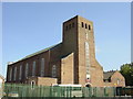
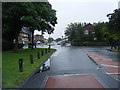
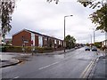
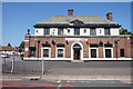
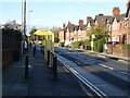
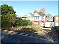
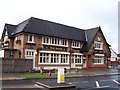
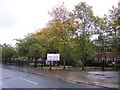
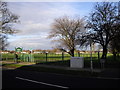
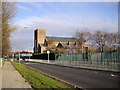
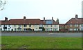
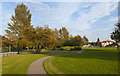
13 photos from this area
Area Information
Key information about the L36 9TR including its size, population, and administrative classification.
- Area Type
- Postcode
- Area Size
- 1.4 hectares
- Population
- 1417
- Population Density
- 5807 people/km²
House Prices in L36 9TR
24
Properties
£150,758
Average Sold Price
£35,000
Lowest Price
£370,000
Highest Price
Showing 24 properties
| Address | Type | Beds | Baths | Last Sale Price | Last Sale Date | |
|---|---|---|---|---|---|---|
| 60 Church Road, Roby, L36 9TR | house | 6 | 1 | £370,000 | May 2024 | |
| 74 Church Road, Roby, L36 9TR | Semi-detached | 3 | 2 | £263,500 | Feb 2024 | |
| 90 Church Road, Roby, L36 9TR | Semi-detached | 3 | 1 | £165,340 | May 2019 | |
| 66 Church Road, Roby, L36 9TR | house | - | - | £225,000 | Mar 2011 | |
| 84 Church Road, Roby, L36 9TR | Semi-detached | 3 | 2 | £155,000 | Apr 2005 | |
| 86 Church Road, Roby, L36 9TR | Semi-detached | - | - | £195,000 | Apr 2004 | |
| 68A Church Road, Roby, L36 9TR | Bungalow | - | - | £75,000 | Jul 2003 | |
| 64 Church Road, Roby, L36 9TR | Flat | 3 | 2 | £67,500 | Apr 2003 | |
| 92 Church Road, Roby, L36 9TR | Semi-detached | - | - | £42,000 | Jul 2000 | |
| 64A Church Road, Roby, L36 9TR | Detached | - | - | £35,000 | Aug 1999 |
Page 1 of 3
Energy Efficiency in L36 9TR
Amenities
Schools
| Rank | School | Type | Entry gender | Ages |
|---|
Explore more schools in this area
Go to Schools tabDemographics
Household Size
Family (3-5 people)
most common
Accommodation Type
Houses
most common
Tenure
60
majority
Ethnic Group
White
most common
Religion
N/A
most common
Household Composition
N/A
most common
Age
47
median
Adults (30-64 years)
most common
Household Deprivation
N/A
with no deprivation
NS-SEC
22
in Lower managerial occupations
Explore more demographic insights in this area
Go to Demographics tabPlanning
Planning Constraints
- Flood RiskPremium
- Ramsar Wetland SitesPremium
- Area of Outstanding Natural BeautyPremium
- Protected Nature ReservePremium
- Protected WoodlandPremium