Area Overview for L36 8HG
Photos of L36 8HG
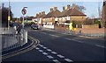
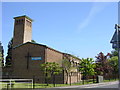
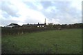
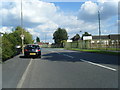
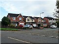
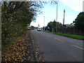
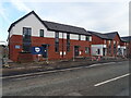
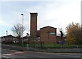
23 photos from this area
Area Information
Key information about the L36 8HG including its size, population, and administrative classification.
- Area Type
- Postcode
- Area Size
- 8158 m²
- Population
- 1401
- Population Density
- 610 people/km²
House Prices in L36 8HG
36
Properties
£66,898
Average Sold Price
£15,370
Lowest Price
£149,260
Highest Price
Showing 36 properties
| Address | Type | Beds | Baths | Last Sale Price | Last Sale Date | |
|---|---|---|---|---|---|---|
| 179 Radway Road, Huyton, L36 8HG | Terraced | 2 | 1 | £111,000 | Sep 2024 | |
| 159 Radway Road, Huyton, L36 8HG | Terraced | 3 | 1 | £149,260 | Mar 2019 | |
| 137 Radway Road, Huyton, L36 8HG | Terraced | 3 | 1 | £85,000 | Jan 2017 | |
| 151 Radway Road, Huyton, L36 8HG | Terraced | 3 | 1 | £65,000 | Mar 2016 | |
| 141 Radway Road, Huyton, L36 8HG | Semi-detached | 2 | 1 | £68,500 | Apr 2014 | |
| 131 Radway Road, Huyton, L36 8HG | house | - | - | £50,000 | Feb 2014 | |
| 127 Radway Road, Huyton, L36 8HG | Terraced | 2 | 1 | £48,250 | Aug 2013 | |
| 163 Radway Road, Huyton, L36 8HG | Semi-detached | - | - | £82,000 | Nov 2005 | |
| 171 Radway Road, Huyton, L36 8HG | house | - | - | £36,500 | Nov 2003 | |
| 129 Radway Road, Huyton, L36 8HG | Terraced | - | - | £15,370 | Mar 2003 |
Page 1 of 4
Energy Efficiency in L36 8HG
Amenities
Schools
| Rank | School | Type | Entry gender | Ages |
|---|
Explore more schools in this area
Go to Schools tabDemographics
Household Size
Family (3-5 people)
most common
Accommodation Type
Houses
most common
Tenure
43
majority
Ethnic Group
White
most common
Religion
N/A
most common
Household Composition
N/A
most common
Age
47
median
Adults (30-64 years)
most common
Household Deprivation
N/A
with no deprivation
NS-SEC
16
in Lower managerial occupations
Explore more demographic insights in this area
Go to Demographics tabPlanning
Planning Constraints
- Flood RiskPremium
- Ramsar Wetland SitesPremium
- Area of Outstanding Natural BeautyPremium
- Protected Nature ReservePremium
- Protected WoodlandPremium