Area Overview for L36 5SU
Photos of L36 5SU
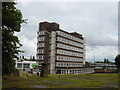
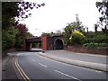
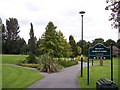
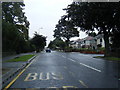
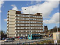
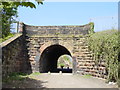
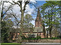
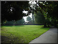
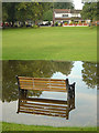

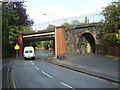
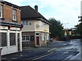
78 photos from this area
Area Information
Key information about the L36 5SU including its size, population, and administrative classification.
- Area Type
- Postcode
- Area Size
- 3.4 hectares
- Population
- 1429
- Population Density
- 4008 people/km²
House Prices in L36 5SU
36
Properties
£191,984
Average Sold Price
£58,000
Lowest Price
£500,000
Highest Price
Showing 36 properties
| Address | Type | Beds | Baths | Last Sale Price | Last Sale Date | |
|---|---|---|---|---|---|---|
| 47 The Park, Huyton, L36 5SU | Detached | 4 | 2 | £342,000 | Aug 2025 | |
| 83 The Park, Huyton, L36 5SU | house | - | - | £180,000 | Aug 2022 | |
| 57 The Park, Huyton, L36 5SU | house | - | - | £285,000 | Feb 2022 | |
| 81 The Park, Huyton, L36 5SU | house | - | - | £250,000 | Aug 2021 | |
| 21 The Park, Huyton, L36 5SU | Flat | - | - | £100,000 | Aug 2021 | |
| 65 The Park, Huyton, L36 5SU | house | - | - | £250,000 | Apr 2021 | |
| 63 The Park, Huyton, L36 5SU | Semi-detached | 3 | 2 | £215,000 | Dec 2020 | |
| 71 The Park, Huyton, L36 5SU | Bungalow | - | - | £155,000 | Dec 2015 | |
| 67 The Park, Huyton, L36 5SU | Semi-detached | 3 | 1 | £170,000 | Aug 2014 | |
| 1 The Park, Huyton, L36 5SU | house | - | - | £500,000 | Apr 2011 |
Page 1 of 4
Energy Efficiency in L36 5SU
Amenities
Schools
| Rank | School | Type | Entry gender | Ages |
|---|
Explore more schools in this area
Go to Schools tabDemographics
Household Size
Two person
most common
Accommodation Type
Houses
most common
Tenure
86
majority
Ethnic Group
White
most common
Religion
N/A
most common
Household Composition
N/A
most common
Age
47
median
Adults (30-64 years)
most common
Household Deprivation
N/A
with no deprivation
NS-SEC
31
in Lower managerial occupations
Explore more demographic insights in this area
Go to Demographics tabPlanning
Planning Constraints
- Flood RiskPremium
- Ramsar Wetland SitesPremium
- Area of Outstanding Natural BeautyPremium
- Protected Nature ReservePremium
- Protected WoodlandPremium