Area Overview for L36 0UX
Photos of L36 0UX
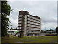
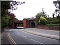
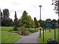
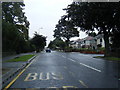
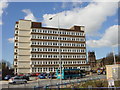
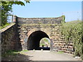
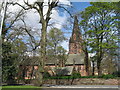
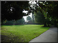
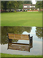

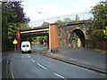
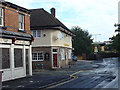
78 photos from this area
Area Information
Key information about the L36 0UX including its size, population, and administrative classification.
- Area Type
- Postcode
- Area Size
- 1.9 hectares
- Population
- 1834
- Population Density
- 2381 people/km²
House Prices in L36 0UX
9
Properties
£110,333
Average Sold Price
£93,000
Lowest Price
£133,000
Highest Price
Showing 9 properties
| Address | Type | Beds | Baths | Last Sale Price | Last Sale Date | |
|---|---|---|---|---|---|---|
| 52 St Johns Road, Huyton, L36 0UX | Terraced | 3 | 1 | £133,000 | May 2022 | |
| 50 St Johns Road, Huyton, L36 0UX | Terraced | 3 | 1 | £105,000 | Oct 2019 | |
| 48 St Johns Road, Huyton, L36 0UX | Terraced | 3 | 1 | £93,000 | Dec 2018 | |
| 54 St Johns Road, Huyton, L36 0UX | house | - | - | - | - | |
| Knowsley Health Watch, The Old School House, St Johns Road, Huyton, L36 0UX | commercial | - | - | - | - | |
| Altry, The Old School House, St Johns Road, Huyton, L36 0UX | Office | - | - | - | - | |
| The Just Group, The Old School House, St Johns Road, Huyton, L36 0UX | Office | - | - | - | - | |
| The Veggie Van, The Old School House, St Johns Road, Huyton, L36 0UX | Restaurant | - | - | - | - | |
| Kpac, The Old School House, St Johns Road, Huyton, L36 0UX | commercial | - | - | - | - |
Energy Efficiency in L36 0UX
Amenities
Schools
| Rank | School | Type | Entry gender | Ages |
|---|
Explore more schools in this area
Go to Schools tabDemographics
Household Size
Family (3-5 people)
most common
Accommodation Type
Houses
most common
Tenure
47
majority
Ethnic Group
White
most common
Religion
N/A
most common
Household Composition
N/A
most common
Age
47
median
Adults (30-64 years)
most common
Household Deprivation
N/A
with no deprivation
NS-SEC
22
in Lower managerial occupations
Explore more demographic insights in this area
Go to Demographics tabPlanning
Planning Constraints
- Flood RiskPremium
- Ramsar Wetland SitesPremium
- Area of Outstanding Natural BeautyPremium
- Protected Nature ReservePremium
- Protected WoodlandPremium