Area Overview for L35 3SH
Photos of L35 3SH
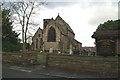
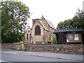
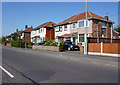
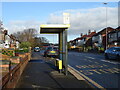
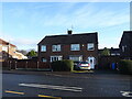
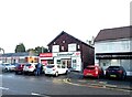
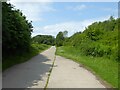
31 photos from this area
Area Information
Key information about the L35 3SH including its size, population, and administrative classification.
- Area Type
- Postcode
- Area Size
- 2.4 hectares
- Population
- 1645
- Population Density
- 723 people/km²
House Prices in L35 3SH
34
Properties
£82,990
Average Sold Price
£15,000
Lowest Price
£134,000
Highest Price
Showing 34 properties
| Address | Type | Beds | Baths | Last Sale Price | Last Sale Date | |
|---|---|---|---|---|---|---|
| 8 Cronton Avenue, Whiston, L35 3SH | Terraced | 2 | 1 | £117,500 | Jun 2025 | |
| 3 Cronton Avenue, Whiston, L35 3SH | Terraced | 3 | 1 | £125,000 | Feb 2025 | |
| 9 Cronton Avenue, Whiston, L35 3SH | Terraced | 2 | 1 | £95,000 | Dec 2024 | |
| 17 Cronton Avenue, Whiston, L35 3SH | Terraced | 3 | 1 | £134,000 | Jan 2024 | |
| 11 Cronton Avenue, Whiston, L35 3SH | Terraced | 2 | 1 | £121,000 | Apr 2023 | |
| 6 Cronton Avenue, Whiston, L35 3SH | Terraced | 2 | 1 | £111,000 | Jan 2023 | |
| 21 Cronton Avenue, Whiston, L35 3SH | Terraced | - | - | £115,000 | Jan 2023 | |
| 24 Cronton Avenue, Whiston, L35 3SH | Terraced | 2 | 1 | £104,500 | Dec 2022 | |
| 30 Cronton Avenue, Whiston, L35 3SH | Semi-detached | 3 | 3 | £105,000 | Dec 2022 | |
| 15 Cronton Avenue, Whiston, L35 3SH | Terraced | 2 | 1 | £125,000 | Sep 2022 |
Page 1 of 4
Energy Efficiency in L35 3SH
Amenities
Schools
| Rank | School | Type | Entry gender | Ages |
|---|
Explore more schools in this area
Go to Schools tabDemographics
Household Size
Two person
most common
Accommodation Type
Houses
most common
Tenure
83
majority
Ethnic Group
White
most common
Religion
N/A
most common
Household Composition
N/A
most common
Age
47
median
Adults (30-64 years)
most common
Household Deprivation
N/A
with no deprivation
NS-SEC
28
in Lower managerial occupations
Explore more demographic insights in this area
Go to Demographics tabPlanning
Planning Constraints
- Flood RiskPremium
- Ramsar Wetland SitesPremium
- Area of Outstanding Natural BeautyPremium
- Protected Nature ReservePremium
- Protected WoodlandPremium