Area Overview for L34 5PF
Photos of L34 5PF
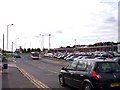
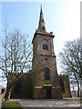
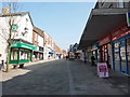
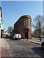
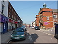
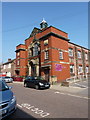
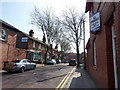
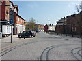
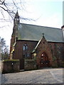
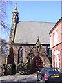
82 photos from this area
Area Information
Key information about the L34 5PF including its size, population, and administrative classification.
- Area Type
- Postcode
- Area Size
- 6854 m²
- Population
- 1212
- Population Density
- 4469 people/km²
House Prices in L34 5PF
27
Properties
£58,400
Average Sold Price
£35,000
Lowest Price
£70,000
Highest Price
Showing 27 properties
| Address | Type | Beds | Baths | Last Sale Price | Last Sale Date | |
|---|---|---|---|---|---|---|
| 121 Beaconsfield, Prescot, L34 5PF | Terraced | 3 | 2 | £65,000 | Aug 2022 | |
| 131 Beaconsfield, Prescot, L34 5PF | Flat | - | - | £65,000 | Mar 2021 | |
| 122 Beaconsfield, Prescot, L34 5PF | Maisonette | - | - | £35,000 | Oct 2011 | |
| 135 Beaconsfield, Prescot, L34 5PF | Flat | 3 | 1 | £70,000 | Jul 2005 | |
| 134 Beaconsfield, Prescot, L34 5PF | Detached | - | - | £57,000 | Mar 2005 | |
| 115 Beaconsfield, Prescot, L34 5PF | house | - | - | - | - | |
| 126 Beaconsfield, Prescot, L34 5PF | Flat | - | - | - | - | |
| 113 Beaconsfield, Prescot, L34 5PF | Flat | 3 | 1 | - | - | |
| 123 Beaconsfield, Prescot, L34 5PF | Maisonette | - | - | - | - | |
| 117 Beaconsfield, Prescot, L34 5PF | Terraced | 4 | 1 | - | - |
Page 1 of 3
Energy Efficiency in L34 5PF
Amenities
Schools
| Rank | School | Type | Entry gender | Ages |
|---|
Explore more schools in this area
Go to Schools tabDemographics
Household Size
One person
most common
Accommodation Type
Flats
most common
Tenure
32
majority
Ethnic Group
White
most common
Religion
N/A
most common
Household Composition
N/A
most common
Age
47
median
Adults (30-64 years)
most common
Household Deprivation
N/A
with no deprivation
NS-SEC
18
in Lower managerial occupations
Explore more demographic insights in this area
Go to Demographics tabPlanning
Planning Constraints
- Flood RiskPremium
- Ramsar Wetland SitesPremium
- Area of Outstanding Natural BeautyPremium
- Protected Nature ReservePremium
- Protected WoodlandPremium