Area Overview for L32 0SA
Photos of L32 0SA
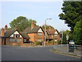
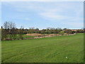


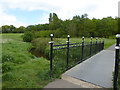
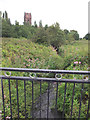
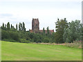
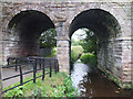
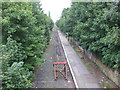
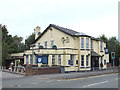
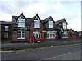
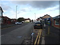
29 photos from this area
Area Information
Key information about the L32 0SA including its size, population, and administrative classification.
- Area Type
- Postcode
- Area Size
- 7469 m²
- Population
- 1752
- Population Density
- 4214 people/km²
House Prices in L32 0SA
24
Properties
£96,384
Average Sold Price
£49,000
Lowest Price
£165,000
Highest Price
Showing 24 properties
| Address | Type | Beds | Baths | Last Sale Price | Last Sale Date | |
|---|---|---|---|---|---|---|
| 7 Hazel Avenue, Kirkby Park, Kirkby, L32 0SA | Semi-detached | 2 | 1 | £165,000 | May 2022 | |
| 26 Hazel Avenue, Kirkby Park, Kirkby, L32 0SA | Semi-detached | 3 | 1 | £123,500 | Jun 2019 | |
| 13 Hazel Avenue, Kirkby Park, Kirkby, L32 0SA | Semi-detached | 2 | 1 | £115,000 | Aug 2018 | |
| 3 Hazel Avenue, Kirkby Park, Kirkby, L32 0SA | Bungalow | - | - | £127,000 | Jun 2017 | |
| 10 Hazel Avenue, Kirkby Park, Kirkby, L32 0SA | Semi-detached | 3 | 1 | £122,500 | Mar 2017 | |
| 19 Hazel Avenue, Kirkby Park, Kirkby, L32 0SA | Bungalow | 2 | 1 | £112,500 | Jun 2016 | |
| 14 Hazel Avenue, Kirkby Park, Kirkby, L32 0SA | house | - | - | £107,000 | Apr 2011 | |
| 24 Hazel Avenue, Kirkby Park, Kirkby, L32 0SA | Terraced | - | - | £84,995 | May 2003 | |
| 18 Hazel Avenue, Kirkby Park, Kirkby, L32 0SA | Terraced | - | - | £82,000 | Dec 2002 | |
| 1 Hazel Avenue, Kirkby Park, Kirkby, L32 0SA | Terraced | - | - | £54,500 | Oct 2000 |
Page 1 of 3
Energy Efficiency in L32 0SA
Amenities
Schools
| Rank | School | Type | Entry gender | Ages |
|---|
Explore more schools in this area
Go to Schools tabDemographics
Household Size
Family (3-5 people)
most common
Accommodation Type
Houses
most common
Tenure
41
majority
Ethnic Group
White
most common
Religion
N/A
most common
Household Composition
N/A
most common
Age
47
median
Adults (30-64 years)
most common
Household Deprivation
N/A
with no deprivation
NS-SEC
13
in Lower managerial occupations
Explore more demographic insights in this area
Go to Demographics tabPlanning
Planning Constraints
- Flood RiskPremium
- Ramsar Wetland SitesPremium
- Area of Outstanding Natural BeautyPremium
- Protected Nature ReservePremium
- Protected WoodlandPremium