Area Overview for L31 5LQ
Photos of L31 5LQ
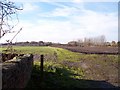
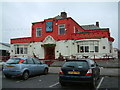
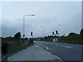
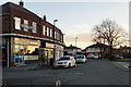
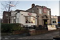

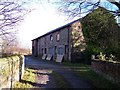

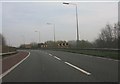

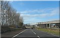
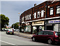
16 photos from this area
Area Information
Key information about the L31 5LQ including its size, population, and administrative classification.
- Area Type
- Postcode
- Area Size
- 10.1 hectares
- Population
- 2067
- Population Density
- 253 people/km²
House Prices in L31 5LQ
41
Properties
£115,390
Average Sold Price
£22,500
Lowest Price
£235,000
Highest Price
Showing 41 properties
| Address | Type | Beds | Baths | Last Sale Price | Last Sale Date | |
|---|---|---|---|---|---|---|
| 74 Moorhey Road, Maghull, L31 5LQ | Semi-detached | 3 | 2 | £193,500 | Aug 2024 | |
| 32 Moorhey Road, Maghull, L31 5LQ | house | 3 | 1 | £210,000 | Nov 2023 | |
| 26 Moorhey Road, Maghull, L31 5LQ | house | - | - | £117,000 | Jun 2022 | |
| 12 Moorhey Road, Maghull, L31 5LQ | house | - | - | £121,000 | May 2020 | |
| 42 Moorhey Road, Maghull, L31 5LQ | Detached | 3 | 2 | £215,000 | Sep 2019 | |
| 72 Moorhey Road, Maghull, L31 5LQ | house | 3 | 1 | £150,000 | Nov 2017 | |
| 2A Moorhey Road, Maghull, L31 5LQ | Detached | 4 | - | £235,000 | Aug 2017 | |
| 34 Moorhey Road, Maghull, L31 5LQ | Semi-detached | 3 | 1 | £111,000 | Oct 2016 | |
| 36 Moorhey Road, Maghull, L31 5LQ | house | - | - | £93,350 | Oct 2016 | |
| 64 Moorhey Road, Maghull, L31 5LQ | house | - | - | £148,000 | Sep 2013 |
Page 1 of 5
Energy Efficiency in L31 5LQ
Amenities
Schools
| Rank | School | Type | Entry gender | Ages |
|---|
Explore more schools in this area
Go to Schools tabDemographics
Household Size
Family (3-5 people)
most common
Accommodation Type
Houses
most common
Tenure
79
majority
Ethnic Group
White
most common
Religion
N/A
most common
Household Composition
N/A
most common
Age
47
median
Adults (30-64 years)
most common
Household Deprivation
N/A
with no deprivation
NS-SEC
34
in Lower managerial occupations
Explore more demographic insights in this area
Go to Demographics tabPlanning
Planning Constraints
- Flood RiskPremium
- Ramsar Wetland SitesPremium
- Area of Outstanding Natural BeautyPremium
- Protected Nature ReservePremium
- Protected WoodlandPremium