Area Overview for L26 7YW
Photos of L26 7YW
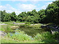
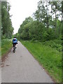
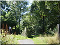
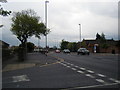
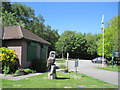
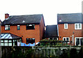
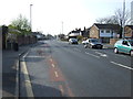
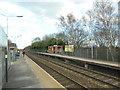
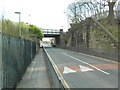
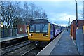
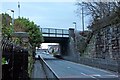
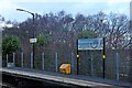
28 photos from this area
Area Information
Key information about the L26 7YW including its size, population, and administrative classification.
- Area Type
- Postcode
- Area Size
- 2.7 hectares
- Population
- 1332
- Population Density
- 5611 people/km²
House Prices in L26 7YW
63
Properties
£106,950
Average Sold Price
£42,105
Lowest Price
£240,000
Highest Price
Showing 63 properties
| Address | Type | Beds | Baths | Last Sale Price | Last Sale Date | |
|---|---|---|---|---|---|---|
| 9 St Ives Way, Halewood, L26 7YW | Semi-detached | 2 | 1 | £195,000 | Jul 2025 | |
| 66 St Ives Way, Halewood, L26 7YW | Semi-detached | 3 | 1 | £240,000 | May 2025 | |
| 24 St Ives Way, Halewood, L26 7YW | Semi-detached | 2 | 1 | £183,000 | May 2023 | |
| 8 St Ives Way, Halewood, L26 7YW | Semi-detached | 2 | 1 | £160,000 | Mar 2023 | |
| 1 St Ives Way, Halewood, L26 7YW | house | - | - | £140,500 | Jan 2022 | |
| 29 St Ives Way, Halewood, L26 7YW | house | - | - | £147,500 | Dec 2020 | |
| 31 St Ives Way, Halewood, L26 7YW | house | 2 | 1 | £129,950 | Jun 2019 | |
| 34 St Ives Way, Halewood, L26 7YW | house | 3 | - | £169,950 | Aug 2018 | |
| 50 St Ives Way, Halewood, L26 7YW | Detached | 4 | - | £174,500 | Jul 2017 | |
| 43 St Ives Way, Halewood, L26 7YW | Detached | 3 | 1 | £165,000 | Feb 2017 |
Page 1 of 7
Energy Efficiency in L26 7YW
Amenities
Schools
| Rank | School | Type | Entry gender | Ages |
|---|
Explore more schools in this area
Go to Schools tabDemographics
Household Size
Family (3-5 people)
most common
Accommodation Type
Houses
most common
Tenure
87
majority
Ethnic Group
White
most common
Religion
N/A
most common
Household Composition
N/A
most common
Age
47
median
Adults (30-64 years)
most common
Household Deprivation
N/A
with no deprivation
NS-SEC
32
in Lower managerial occupations
Explore more demographic insights in this area
Go to Demographics tabPlanning
Planning Constraints
- Flood RiskPremium
- Ramsar Wetland SitesPremium
- Area of Outstanding Natural BeautyPremium
- Protected Nature ReservePremium
- Protected WoodlandPremium