Area Overview for L26 1UN
Photos of L26 1UN
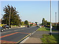
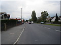

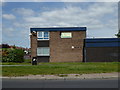
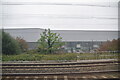
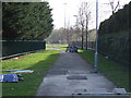
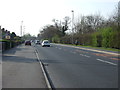
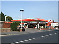
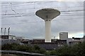
15 photos from this area
Area Information
Key information about the L26 1UN including its size, population, and administrative classification.
- Area Type
- Postcode
- Area Size
- 2.6 hectares
- Population
- 1432
- Population Density
- 4203 people/km²
House Prices in L26 1UN
37
Properties
£177,877
Average Sold Price
£70,000
Lowest Price
£280,000
Highest Price
Showing 37 properties
| Address | Type | Beds | Baths | Last Sale Price | Last Sale Date | |
|---|---|---|---|---|---|---|
| 149 Higher Road, Halewood, L26 1UN | Bungalow | 3 | 2 | £250,000 | Feb 2025 | |
| 181 Higher Road, Halewood, L26 1UN | Bungalow | 3 | 1 | £280,000 | Mar 2024 | |
| 185 Higher Road, Halewood, L26 1UN | Detached | 3 | 1 | £220,000 | Oct 2022 | |
| 209 Higher Road, Halewood, L26 1UN | Semi-detached | 3 | 1 | £185,000 | Sep 2021 | |
| 131 Higher Road, Halewood, L26 1UN | Semi-detached | 3 | 1 | £242,072 | Jun 2021 | |
| 175 Higher Road, Halewood, L26 1UN | Bungalow | 2 | 1 | £125,000 | Apr 2018 | |
| 143 Higher Road, Halewood, L26 1UN | Semi-detached | 4 | 2 | £214,350 | Feb 2017 | |
| 205 Higher Road, Halewood, L26 1UN | Semi-detached | 3 | - | £170,000 | Jul 2016 | |
| 211 Higher Road, Halewood, L26 1UN | Detached | 4 | 2 | £250,000 | May 2016 | |
| 141 Higher Road, Halewood, L26 1UN | Semi-detached | 4 | - | £195,000 | Dec 2015 |
Page 1 of 4
Energy Efficiency in L26 1UN
Amenities
Schools
| Rank | School | Type | Entry gender | Ages |
|---|
Explore more schools in this area
Go to Schools tabDemographics
Household Size
Two person
most common
Accommodation Type
Houses
most common
Tenure
87
majority
Ethnic Group
White
most common
Religion
N/A
most common
Household Composition
N/A
most common
Age
47
median
Adults (30-64 years)
most common
Household Deprivation
N/A
with no deprivation
NS-SEC
27
in Lower managerial occupations
Explore more demographic insights in this area
Go to Demographics tabPlanning
Planning Constraints
- Flood RiskPremium
- Ramsar Wetland SitesPremium
- Area of Outstanding Natural BeautyPremium
- Protected Nature ReservePremium
- Protected WoodlandPremium