Area Overview for L25 9NR
Photos of L25 9NR
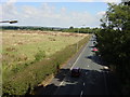
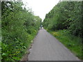
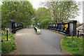
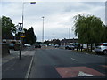
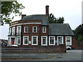
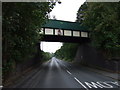
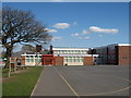
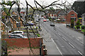
9 photos from this area
Area Information
Key information about the L25 9NR including its size, population, and administrative classification.
- Area Type
- Postcode
- Area Size
- 9700 m²
- Population
- 1417
- Population Density
- 6020 people/km²
House Prices in L25 9NR
30
Properties
£152,719
Average Sold Price
£56,000
Lowest Price
£355,000
Highest Price
Showing 30 properties
| Address | Type | Beds | Baths | Last Sale Price | Last Sale Date | |
|---|---|---|---|---|---|---|
| 24 South Manor Way, Liverpool, L25 9NR | Detached | 3 | 1 | £355,000 | Sep 2025 | |
| 36 South Manor Way, Liverpool, L25 9NR | Semi-detached | 3 | 1 | £325,000 | Mar 2025 | |
| 16 South Manor Way, Liverpool, L25 9NR | Semi-detached | 3 | 1 | £178,000 | Feb 2019 | |
| 40 South Manor Way, Liverpool, L25 9NR | Semi-detached | 3 | 1 | £186,000 | Dec 2017 | |
| 4 South Manor Way, Liverpool, L25 9NR | Semi-detached | 3 | - | £197,000 | Jun 2016 | |
| 50 South Manor Way, Liverpool, L25 9NR | house | - | - | £158,000 | Dec 2011 | |
| 22 South Manor Way, Liverpool, L25 9NR | Detached | 3 | 1 | £160,000 | Dec 2011 | |
| 38 South Manor Way, Liverpool, L25 9NR | Terraced | - | - | £175,000 | Jan 2011 | |
| 48 South Manor Way, Liverpool, L25 9NR | house | - | - | £212,000 | Aug 2007 | |
| 54 South Manor Way, Liverpool, L25 9NR | Terraced | - | - | £128,000 | Jun 2003 |
Page 1 of 3
Energy Efficiency in L25 9NR
Amenities
Schools
| Rank | School | Type | Entry gender | Ages |
|---|
Explore more schools in this area
Go to Schools tabDemographics
Household Size
Two person
most common
Accommodation Type
Houses
most common
Tenure
90
majority
Ethnic Group
White
most common
Religion
N/A
most common
Household Composition
N/A
most common
Age
47
median
Adults (30-64 years)
most common
Household Deprivation
N/A
with no deprivation
NS-SEC
42
in Lower managerial occupations
Explore more demographic insights in this area
Go to Demographics tabPlanning
Planning Constraints
- Flood RiskPremium
- Ramsar Wetland SitesPremium
- Area of Outstanding Natural BeautyPremium
- Protected Nature ReservePremium
- Protected WoodlandPremium