Area Overview for L25 8SB
Photos of L25 8SB
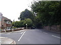
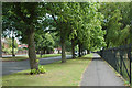
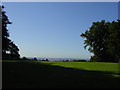
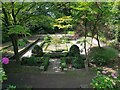
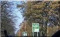
17 photos from this area
Area Information
Key information about the L25 8SB including its size, population, and administrative classification.
- Area Type
- Postcode
- Area Size
- 1.6 hectares
- Population
- 1434
- Population Density
- 3319 people/km²
House Prices in L25 8SB
18
Properties
£213,667
Average Sold Price
£125,000
Lowest Price
£365,000
Highest Price
Showing 18 properties
| Address | Type | Beds | Baths | Last Sale Price | Last Sale Date | |
|---|---|---|---|---|---|---|
| 75 Speke Road, Woolton, Liverpool, L25 8SB | house | 3 | 1 | £252,000 | Mar 2022 | |
| 93 Speke Road, Woolton, Liverpool, L25 8SB | Detached | 3 | 1 | £268,000 | Sep 2021 | |
| 105 Speke Road, Woolton, Liverpool, L25 8SB | Semi-detached | 3 | - | £365,000 | Feb 2021 | |
| 97 Speke Road, Woolton, Liverpool, L25 8SB | house | - | - | £235,000 | Dec 2020 | |
| 99 Speke Road, Woolton, Liverpool, L25 8SB | house | 4 | 1 | £198,000 | May 2015 | |
| 95 Speke Road, Woolton, Liverpool, L25 8SB | Semi-detached | 4 | - | £185,000 | Nov 2013 | |
| 73 Speke Road, Woolton, Liverpool, L25 8SB | Semi-detached | 3 | - | £140,000 | Oct 2012 | |
| 71 Speke Road, Woolton, Liverpool, L25 8SB | Semi-detached | 3 | 1 | £125,000 | Mar 2009 | |
| 79 Speke Road, Woolton, Liverpool, L25 8SB | house | 3 | 1 | £155,000 | May 2006 | |
| 87 Speke Road, Woolton, Liverpool, L25 8SB | Detached | 3 | 1 | - | - |
Page 1 of 2
Energy Efficiency in L25 8SB
Amenities
Schools
| Rank | School | Type | Entry gender | Ages |
|---|
Explore more schools in this area
Go to Schools tabDemographics
Household Size
One person
most common
Accommodation Type
Houses
most common
Tenure
83
majority
Ethnic Group
White
most common
Religion
N/A
most common
Household Composition
N/A
most common
Age
47
median
Adults (30-64 years)
most common
Household Deprivation
N/A
with no deprivation
NS-SEC
36
in Lower managerial occupations
Explore more demographic insights in this area
Go to Demographics tabPlanning
Planning Constraints
- Flood RiskPremium
- Ramsar Wetland SitesPremium
- Area of Outstanding Natural BeautyPremium
- Protected Nature ReservePremium
- Protected WoodlandPremium