Area Overview for L25 7UD
Photos of L25 7UD
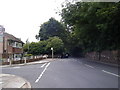
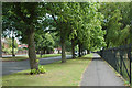

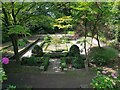
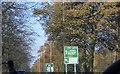

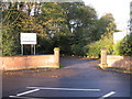
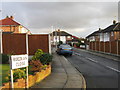
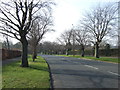
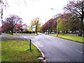
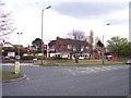
17 photos from this area
Area Information
Key information about the L25 7UD including its size, population, and administrative classification.
- Area Type
- Postcode
- Area Size
- 3.9 hectares
- Population
- 1346
- Population Density
- 1461 people/km²
House Prices in L25 7UD
29
Properties
£160,489
Average Sold Price
£62,000
Lowest Price
£280,000
Highest Price
Showing 29 properties
| Address | Type | Beds | Baths | Last Sale Price | Last Sale Date | |
|---|---|---|---|---|---|---|
| 104 School Lane, Woolton, Liverpool, L25 7UD | house | - | - | £280,000 | Apr 2024 | |
| 128 School Lane, Woolton, Liverpool, L25 7UD | Semi-detached | - | - | £220,000 | Apr 2023 | |
| 124 School Lane, Woolton, Liverpool, L25 7UD | Semi-detached | 3 | 1 | £270,000 | Mar 2023 | |
| 134 School Lane, Woolton, Liverpool, L25 7UD | house | - | - | £270,000 | Apr 2021 | |
| 120 School Lane, Woolton, Liverpool, L25 7UD | Semi-detached | 3 | 1 | £175,000 | Apr 2016 | |
| 126 School Lane, Woolton, Liverpool, L25 7UD | Semi-detached | 3 | - | £189,000 | Jan 2015 | |
| 112 School Lane, Woolton, Liverpool, L25 7UD | house | 3 | - | £200,000 | Apr 2010 | |
| 144 School Lane, Woolton, Liverpool, L25 7UD | Terraced | - | - | £215,000 | Oct 2006 | |
| 100 School Lane, Woolton, Liverpool, L25 7UD | house | - | - | £250,000 | Apr 2003 | |
| 94 School Lane, Woolton, Liverpool, L25 7UD | Terraced | - | - | £108,817 | Nov 2002 |
Page 1 of 3
Energy Efficiency in L25 7UD
Amenities
Schools
| Rank | School | Type | Entry gender | Ages |
|---|
Explore more schools in this area
Go to Schools tabDemographics
Household Size
One person
most common
Accommodation Type
Houses
most common
Tenure
76
majority
Ethnic Group
White
most common
Religion
N/A
most common
Household Composition
N/A
most common
Age
47
median
Adults (30-64 years)
most common
Household Deprivation
N/A
with no deprivation
NS-SEC
37
in Lower managerial occupations
Explore more demographic insights in this area
Go to Demographics tabPlanning
Planning Constraints
- Flood RiskPremium
- Ramsar Wetland SitesPremium
- Area of Outstanding Natural BeautyPremium
- Protected Nature ReservePremium
- Protected WoodlandPremium