Area Overview for L25 7TF
Photos of L25 7TF
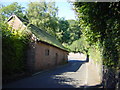
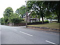


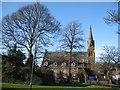
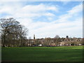
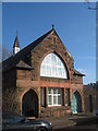
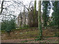
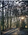
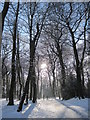
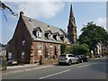
46 photos from this area
Area Information
Key information about the L25 7TF including its size, population, and administrative classification.
- Area Type
- Postcode
- Area Size
- 2671 m²
- Population
- 1687
- Population Density
- 6521 people/km²
House Prices in L25 7TF
10
Properties
£174,333
Average Sold Price
£43,000
Lowest Price
£325,000
Highest Price
Showing 10 properties
| Address | Type | Beds | Baths | Last Sale Price | Last Sale Date | |
|---|---|---|---|---|---|---|
| 42 High Street, Woolton, Liverpool, L25 7TF | Terraced | 2 | 1 | £325,000 | Apr 2024 | |
| 56 High Street, Woolton, Liverpool, L25 7TF | Terraced | 3 | 1 | £276,000 | Sep 2017 | |
| 48 High Street, Woolton, Liverpool, L25 7TF | Terraced | 2 | - | £178,000 | May 2014 | |
| 54 High Street, Woolton, Liverpool, L25 7TF | Terraced | 3 | 1 | £220,000 | Jun 2010 | |
| 46 High Street, Woolton, Liverpool, L25 7TF | Terraced | 2 | 1 | £200,000 | Sep 2009 | |
| 44 High Street, Woolton, Liverpool, L25 7TF | Terraced | - | - | £137,000 | May 2003 | |
| 52 High Street, Woolton, Liverpool, L25 7TF | Terraced | - | - | £65,000 | Jan 2001 | |
| 50 High Street, Woolton, Liverpool, L25 7TF | house | - | - | £43,000 | Aug 1998 | |
| 58 High Street, Woolton, Liverpool, L25 7TF | Terraced | - | - | £125,000 | Jul 1997 | |
| 40 High Street, Woolton, Liverpool, L25 7TF | Terraced | 3 | - | - | - |
Energy Efficiency in L25 7TF
Amenities
Schools
| Rank | School | Type | Entry gender | Ages |
|---|
Explore more schools in this area
Go to Schools tabDemographics
Household Size
One person
most common
Accommodation Type
Flats
most common
Tenure
41
majority
Ethnic Group
White
most common
Religion
N/A
most common
Household Composition
N/A
most common
Age
47
median
Elderly (65+ years)
most common
Household Deprivation
N/A
with no deprivation
NS-SEC
31
in Lower managerial occupations
Explore more demographic insights in this area
Go to Demographics tabPlanning
Planning Constraints
- Flood RiskPremium
- Ramsar Wetland SitesPremium
- Area of Outstanding Natural BeautyPremium
- Protected Nature ReservePremium
- Protected WoodlandPremium