Area Overview for L25 6HW
Photos of L25 6HW
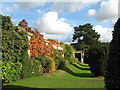
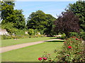
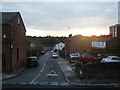
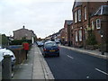
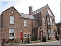
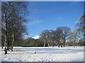
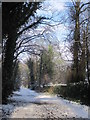
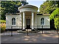
32 photos from this area
Area Information
Key information about the L25 6HW including its size, population, and administrative classification.
- Area Type
- Postcode
- Area Size
- 6680 m²
- Population
- 1687
- Population Density
- 6521 people/km²
House Prices in L25 6HW
16
Properties
£189,375
Average Sold Price
£45,000
Lowest Price
£360,000
Highest Price
Showing 16 properties
| Address | Type | Beds | Baths | Last Sale Price | Last Sale Date | |
|---|---|---|---|---|---|---|
| 6 Linkstor Road, Liverpool, L25 6HW | Semi-detached | 3 | - | £360,000 | May 2022 | |
| 24 Linkstor Road, Liverpool, L25 6HW | Semi-detached | 3 | 1 | £247,000 | Jan 2018 | |
| 14 Linkstor Road, Liverpool, L25 6HW | Semi-detached | 3 | 1 | £226,500 | Sep 2017 | |
| 30 Linkstor Road, Liverpool, L25 6HW | Semi-detached | 3 | 1 | £240,000 | Aug 2015 | |
| 12 Linkstor Road, Liverpool, L25 6HW | Semi-detached | 3 | 1 | £164,000 | Dec 2014 | |
| 10 Linkstor Road, Liverpool, L25 6HW | house | - | - | £170,500 | Nov 2012 | |
| 20 Linkstor Road, Liverpool, L25 6HW | Semi-detached | - | - | £62,000 | Feb 1998 | |
| 8 Linkstor Road, Liverpool, L25 6HW | Detached | 3 | 1 | £45,000 | Sep 1997 | |
| 22 Linkstor Road, Liverpool, L25 6HW | Semi-detached | 3 | 2 | - | - | |
| 4 Linkstor Road, Liverpool, L25 6HW | Semi-detached | 3 | 1 | - | - |
Page 1 of 2
Energy Efficiency in L25 6HW
Amenities
Schools
| Rank | School | Type | Entry gender | Ages |
|---|
Explore more schools in this area
Go to Schools tabDemographics
Household Size
One person
most common
Accommodation Type
Flats
most common
Tenure
41
majority
Ethnic Group
White
most common
Religion
N/A
most common
Household Composition
N/A
most common
Age
47
median
Elderly (65+ years)
most common
Household Deprivation
N/A
with no deprivation
NS-SEC
31
in Lower managerial occupations
Explore more demographic insights in this area
Go to Demographics tabPlanning
Planning Constraints
- Flood RiskPremium
- Ramsar Wetland SitesPremium
- Area of Outstanding Natural BeautyPremium
- Protected Nature ReservePremium
- Protected WoodlandPremium