Area Overview for L25 4SA
Photos of L25 4SA
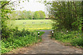
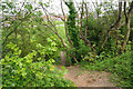
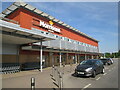
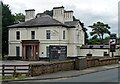
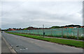
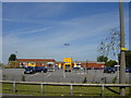
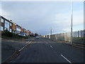
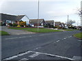
31 photos from this area
Area Information
Key information about the L25 4SA including its size, population, and administrative classification.
- Area Type
- Postcode
- Area Size
- 1.3 hectares
- Population
- 1922
- Population Density
- 5923 people/km²
House Prices in L25 4SA
32
Properties
£219,132
Average Sold Price
£59,600
Lowest Price
£400,000
Highest Price
Showing 32 properties
| Address | Type | Beds | Baths | Last Sale Price | Last Sale Date | |
|---|---|---|---|---|---|---|
| 81 Grange Lane, Liverpool, L25 4SA | Bungalow | 4 | 2 | £360,000 | May 2024 | |
| 99 Grange Lane, Liverpool, L25 4SA | Detached | 4 | 1 | £390,000 | Jan 2021 | |
| 45 Grange Lane, Liverpool, L25 4SA | house | 3 | - | £318,000 | Nov 2020 | |
| 93 Grange Lane, Liverpool, L25 4SA | Detached | 5 | 2 | £400,000 | Apr 2019 | |
| 71 Grange Lane, Liverpool, L25 4SA | Semi-detached | 2 | 2 | £290,000 | Jun 2018 | |
| 91 Grange Lane, Liverpool, L25 4SA | Semi-detached | 3 | 2 | £193,000 | May 2016 | |
| 73 Grange Lane, Liverpool, L25 4SA | Semi-detached | 3 | 2 | £205,000 | Feb 2016 | |
| 101 Grange Lane, Liverpool, L25 4SA | Detached | 3 | - | £335,000 | Jul 2014 | |
| 95 Grange Lane, Liverpool, L25 4SA | Bungalow | 3 | - | £267,000 | Mar 2014 | |
| 105 Grange Lane, Liverpool, L25 4SA | Detached | 6 | - | £300,000 | Jul 2013 |
Page 1 of 4
Energy Efficiency in L25 4SA
Amenities
Schools
| Rank | School | Type | Entry gender | Ages |
|---|
Explore more schools in this area
Go to Schools tabDemographics
Household Size
Two person
most common
Accommodation Type
Houses
most common
Tenure
92
majority
Ethnic Group
White
most common
Religion
N/A
most common
Household Composition
N/A
most common
Age
47
median
Adults (30-64 years)
most common
Household Deprivation
N/A
with no deprivation
NS-SEC
46
in Lower managerial occupations
Explore more demographic insights in this area
Go to Demographics tabPlanning
Planning Constraints
- Flood RiskPremium
- Ramsar Wetland SitesPremium
- Area of Outstanding Natural BeautyPremium
- Protected Nature ReservePremium
- Protected WoodlandPremium