Area Overview for L25 2XU
Photos of L25 2XU
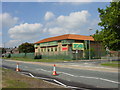
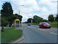
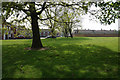
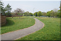
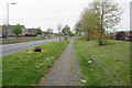
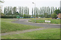
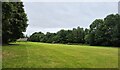
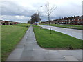
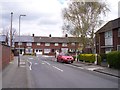
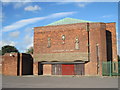
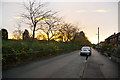
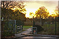
16 photos from this area
Area Information
Key information about the L25 2XU including its size, population, and administrative classification.
- Area Type
- Postcode
- Area Size
- 3.5 hectares
- Population
- 1160
- Population Density
- 5070 people/km²
House Prices in L25 2XU
65
Properties
£113,650
Average Sold Price
£60,000
Lowest Price
£150,000
Highest Price
Showing 65 properties
| Address | Type | Beds | Baths | Last Sale Price | Last Sale Date | |
|---|---|---|---|---|---|---|
| 35 Shrewton Road, Liverpool, L25 2XU | Terraced | 4 | 1 | £150,000 | Dec 2022 | |
| 25 Shrewton Road, Liverpool, L25 2XU | Retail | 3 | 1 | £141,000 | Apr 2022 | |
| 37 Shrewton Road, Liverpool, L25 2XU | house | - | - | £135,000 | Feb 2022 | |
| 81 Shrewton Road, Liverpool, L25 2XU | house | - | - | £110,000 | May 2021 | |
| 29 Shrewton Road, Liverpool, L25 2XU | Terraced | 3 | 1 | £145,000 | Apr 2020 | |
| 51 Shrewton Road, Liverpool, L25 2XU | Terraced | 3 | - | £94,000 | Nov 2013 | |
| 77 Shrewton Road, Liverpool, L25 2XU | Terraced | 3 | 1 | £60,000 | Nov 2012 | |
| 17 Shrewton Road, Liverpool, L25 2XU | house | - | - | £111,500 | Sep 2007 | |
| 65 Shrewton Road, Liverpool, L25 2XU | Terraced | - | - | £85,000 | Jul 2007 | |
| 95 Shrewton Road, Liverpool, L25 2XU | house | - | - | £105,000 | Nov 2006 |
Page 1 of 7
Energy Efficiency in L25 2XU
Amenities
Schools
| Rank | School | Type | Entry gender | Ages |
|---|
Explore more schools in this area
Go to Schools tabDemographics
Household Size
One person
most common
Accommodation Type
Houses
most common
Tenure
50
majority
Ethnic Group
White
most common
Religion
N/A
most common
Household Composition
N/A
most common
Age
47
median
Adults (30-64 years)
most common
Household Deprivation
N/A
with no deprivation
NS-SEC
20
in Lower managerial occupations
Explore more demographic insights in this area
Go to Demographics tabPlanning
Planning Constraints
- Flood RiskPremium
- Ramsar Wetland SitesPremium
- Area of Outstanding Natural BeautyPremium
- Protected Nature ReservePremium
- Protected WoodlandPremium