Area Overview for L23 8SW
Photos of L23 8SW
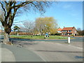
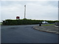
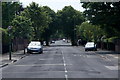
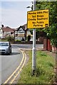
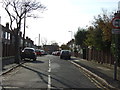
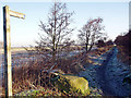
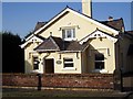
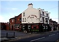
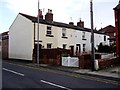
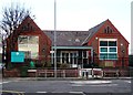
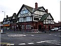
36 photos from this area
Area Information
Key information about the L23 8SW including its size, population, and administrative classification.
- Area Type
- Postcode
- Area Size
- 2.4 hectares
- Population
- 1427
- Population Density
- 3394 people/km²
House Prices in L23 8SW
41
Properties
£462,077
Average Sold Price
£175,000
Lowest Price
£660,000
Highest Price
Showing 41 properties
| Address | Type | Beds | Baths | Last Sale Price | Last Sale Date | |
|---|---|---|---|---|---|---|
| 12 Dowhills Road, Crosby, L23 8SW | Bungalow | 4 | 1 | £660,000 | Aug 2024 | |
| 26 Dowhills Road, Crosby, L23 8SW | Detached | 5 | 2 | £620,000 | May 2016 | |
| 40 Dowhills Road, Crosby, L23 8SW | Bungalow | 4 | 3 | £440,000 | Mar 2016 | |
| 32 Dowhills Road, Crosby, L23 8SW | house | - | - | £520,000 | Mar 2016 | |
| 16 Dowhills Road, Crosby, L23 8SW | Detached | 6 | 2 | £580,000 | Jan 2016 | |
| 14 Dowhills Road, Crosby, L23 8SW | Detached | 6 | 3 | £630,000 | Dec 2015 | |
| 34A Dowhills Road, Crosby, L23 8SW | Flat | - | - | £185,000 | May 2015 | |
| 38 Dowhills Road, Crosby, L23 8SW | house | - | - | £432,000 | Aug 2011 | |
| 52 Dowhills Road, Crosby, L23 8SW | Detached | - | - | £580,000 | Feb 2006 | |
| 30 Dowhills Road, Crosby, L23 8SW | Detached | - | - | £610,000 | Aug 2004 |
Page 1 of 5
Energy Efficiency in L23 8SW
Amenities
Schools
| Rank | School | Type | Entry gender | Ages |
|---|
Explore more schools in this area
Go to Schools tabDemographics
Household Size
One person
most common
Accommodation Type
Houses
most common
Tenure
74
majority
Ethnic Group
White
most common
Religion
N/A
most common
Household Composition
N/A
most common
Age
47
median
Adults (30-64 years)
most common
Household Deprivation
N/A
with no deprivation
NS-SEC
49
in Lower managerial occupations
Explore more demographic insights in this area
Go to Demographics tabPlanning
Planning Constraints
- Flood RiskPremium
- Ramsar Wetland SitesPremium
- Area of Outstanding Natural BeautyPremium
- Protected Nature ReservePremium
- Protected WoodlandPremium