Area Overview for L22 2AL
Photos of L22 2AL
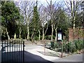
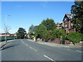
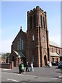
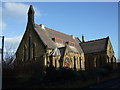
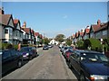
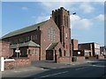
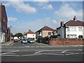
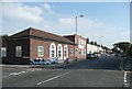
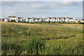
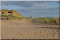
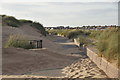
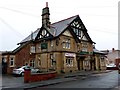
100 photos from this area
Area Information
Key information about the L22 2AL including its size, population, and administrative classification.
- Area Type
- Postcode
- Area Size
- 5670 m²
- Population
- 1471
- Population Density
- 6270 people/km²
House Prices in L22 2AL
28
Properties
£171,538
Average Sold Price
£54,000
Lowest Price
£255,000
Highest Price
Showing 28 properties
| Address | Type | Beds | Baths | Last Sale Price | Last Sale Date | |
|---|---|---|---|---|---|---|
| 5 Alder Grove, Waterloo, L22 2AL | Terraced | 3 | 1 | £215,000 | Feb 2024 | |
| 29 Alder Grove, Waterloo, L22 2AL | Terraced | 3 | 1 | £255,000 | Feb 2022 | |
| 20 Alder Grove, Waterloo, L22 2AL | Retail | 3 | 1 | £228,000 | Jan 2022 | |
| 21 Alder Grove, Waterloo, L22 2AL | Terraced | 3 | 1 | £225,000 | Sep 2021 | |
| 19 Alder Grove, Waterloo, L22 2AL | house | - | - | £240,000 | May 2021 | |
| 12 Alder Grove, Waterloo, L22 2AL | Semi-detached | 3 | - | £240,500 | Jan 2020 | |
| 14 Alder Grove, Waterloo, L22 2AL | Semi-detached | 3 | 1 | £197,000 | Dec 2019 | |
| 24 Alder Grove, Waterloo, L22 2AL | Semi-detached | 3 | 1 | £220,752 | Dec 2019 | |
| 23 Alder Grove, Waterloo, L22 2AL | Terraced | 3 | 1 | £166,000 | Aug 2018 | |
| 9 Alder Grove, Waterloo, L22 2AL | house | - | - | £151,000 | Sep 2017 |
Page 1 of 3
Energy Efficiency in L22 2AL
Amenities
Schools
| Rank | School | Type | Entry gender | Ages |
|---|
Explore more schools in this area
Go to Schools tabDemographics
Household Size
Family (3-5 people)
most common
Accommodation Type
Houses
most common
Tenure
86
majority
Ethnic Group
White
most common
Religion
N/A
most common
Household Composition
N/A
most common
Age
47
median
Adults (30-64 years)
most common
Household Deprivation
N/A
with no deprivation
NS-SEC
45
in Lower managerial occupations
Explore more demographic insights in this area
Go to Demographics tabPlanning
Planning Constraints
- Flood RiskPremium
- Ramsar Wetland SitesPremium
- Area of Outstanding Natural BeautyPremium
- Protected Nature ReservePremium
- Protected WoodlandPremium