Area Overview for L22 1RD
Photos of L22 1RD
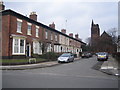
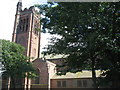
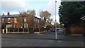
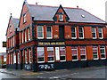
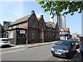
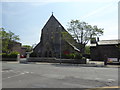
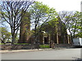
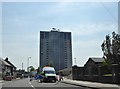

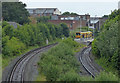
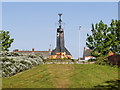
48 photos from this area
Area Information
Key information about the L22 1RD including its size, population, and administrative classification.
- Area Type
- Postcode
- Area Size
- 1.6 hectares
- Population
- 1572
- Population Density
- 1326 people/km²
House Prices in L22 1RD
48
Properties
£197,167
Average Sold Price
£80,000
Lowest Price
£340,000
Highest Price
Showing 48 properties
| Address | Type | Beds | Baths | Last Sale Price | Last Sale Date | |
|---|---|---|---|---|---|---|
| 46 Great Georges Road, Waterloo, L22 1RD | Semi-detached | 1 | 1 | £265,000 | Feb 2022 | |
| 2E Great Georges Road, Waterloo, L22 1RD | Flat | 3 | 1 | £127,000 | Mar 2021 | |
| 36 Great Georges Road, Waterloo, L22 1RD | Flat | 3 | 1 | £340,000 | Oct 2014 | |
| 42 Great Georges Road, Waterloo, L22 1RD | Semi-detached | - | - | £172,000 | Oct 2005 | |
| 2B Great Georges Road, Waterloo, L22 1RD | Flat | - | - | £80,000 | Nov 2004 | |
| 40 Great Georges Road, Waterloo, L22 1RD | house | - | - | £199,000 | Jun 2001 | |
| 18, St Andrews Court, 52 Great Georges Road, Waterloo, L22 1RD | Flat | 3 | 1 | - | - | |
| 17, St Andrews Court, 52 Great Georges Road, Waterloo, L22 1RD | Flat | 2 | 1 | - | - | |
| 2 Great Georges Road, Waterloo, L22 1RD | Terraced | 10 | - | - | - | |
| 32 Great Georges Road, Waterloo, L22 1RD | Terraced | 6 | 2 | - | - |
Page 1 of 5
Energy Efficiency in L22 1RD
Amenities
Schools
| Rank | School | Type | Entry gender | Ages |
|---|
Explore more schools in this area
Go to Schools tabDemographics
Household Size
One person
most common
Accommodation Type
Flats
most common
Tenure
35
majority
Ethnic Group
White
most common
Religion
N/A
most common
Household Composition
N/A
most common
Age
47
median
Adults (30-64 years)
most common
Household Deprivation
N/A
with no deprivation
NS-SEC
30
in Lower managerial occupations
Explore more demographic insights in this area
Go to Demographics tabPlanning
Planning Constraints
- Flood RiskPremium
- Ramsar Wetland SitesPremium
- Area of Outstanding Natural BeautyPremium
- Protected Nature ReservePremium
- Protected WoodlandPremium