Area Overview for L20 6FD
Photos of L20 6FD
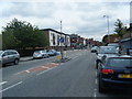


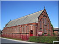
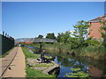

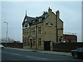
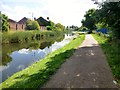
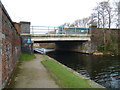
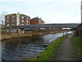
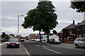
57 photos from this area
Area Information
Key information about the L20 6FD including its size, population, and administrative classification.
- Area Type
- Postcode
- Area Size
- 9242 m²
- Population
- 2470
- Population Density
- 4655 people/km²
House Prices in L20 6FD
26
Properties
£152,258
Average Sold Price
£18,100
Lowest Price
£189,995
Highest Price
Showing 26 properties
| Address | Type | Beds | Baths | Last Sale Price | Last Sale Date | |
|---|---|---|---|---|---|---|
| 52 Willard Drive, Bootle, L20 6FD | house | - | - | £184,995 | Dec 2020 | |
| 50 Willard Drive, Bootle, L20 6FD | house | - | - | £189,995 | Dec 2020 | |
| 46 Willard Drive, Bootle, L20 6FD | Detached | 3 | 3 | £158,995 | Oct 2020 | |
| 48 Willard Drive, Bootle, L20 6FD | house | - | - | £158,995 | Oct 2020 | |
| 44 Willard Drive, Bootle, L20 6FD | house | - | - | £158,995 | Oct 2020 | |
| 42 Willard Drive, Bootle, L20 6FD | house | - | - | £158,995 | Sep 2020 | |
| 40 Willard Drive, Bootle, L20 6FD | house | - | - | £188,995 | Sep 2020 | |
| 38 Willard Drive, Bootle, L20 6FD | house | - | - | £18,100 | Jul 2019 | |
| 8 Willard Drive, Bootle, L20 6FD | house | - | - | - | - | |
| 14 Willard Drive, Bootle, L20 6FD | house | - | - | - | - |
Page 1 of 3
Energy Efficiency in L20 6FD
Amenities
Schools
| Rank | School | Type | Entry gender | Ages |
|---|
Explore more schools in this area
Go to Schools tabDemographics
Household Size
Family (3-5 people)
most common
Accommodation Type
Houses
most common
Tenure
85
majority
Ethnic Group
White
most common
Religion
N/A
most common
Household Composition
N/A
most common
Age
47
median
Adults (30-64 years)
most common
Household Deprivation
N/A
with no deprivation
NS-SEC
31
in Lower managerial occupations
Explore more demographic insights in this area
Go to Demographics tabPlanning
Planning Constraints
- Flood RiskPremium
- Ramsar Wetland SitesPremium
- Area of Outstanding Natural BeautyPremium
- Protected Nature ReservePremium
- Protected WoodlandPremium