Area Overview for L19 5NN
Photos of L19 5NN

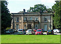
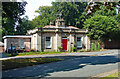
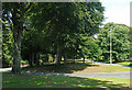
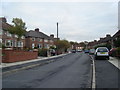
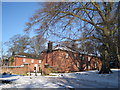
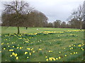
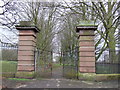
34 photos from this area
Area Information
Key information about the L19 5NN including its size, population, and administrative classification.
- Area Type
- Postcode
- Area Size
- 5.5 hectares
- Population
- 1659
- Population Density
- 913 people/km²
House Prices in L19 5NN
44
Properties
£163,259
Average Sold Price
£42,000
Lowest Price
£327,000
Highest Price
Showing 44 properties
| Address | Type | Beds | Baths | Last Sale Price | Last Sale Date | |
|---|---|---|---|---|---|---|
| 21 Northmead Road, Liverpool, L19 5NN | house | 4 | 2 | £327,000 | Sep 2025 | |
| 27 Northmead Road, Liverpool, L19 5NN | Detached | 3 | 1 | £275,000 | May 2025 | |
| 49 Northmead Road, Liverpool, L19 5NN | Detached | 3 | 2 | £310,000 | Sep 2024 | |
| 81 Northmead Road, Liverpool, L19 5NN | Semi-detached | 2 | - | £230,000 | Aug 2021 | |
| 63 Northmead Road, Liverpool, L19 5NN | house | - | - | £46,666 | Jun 2021 | |
| 73 Northmead Road, Liverpool, L19 5NN | Semi-detached | 3 | 1 | £270,000 | Jul 2020 | |
| 5 Northmead Road, Liverpool, L19 5NN | house | - | - | £200,000 | May 2018 | |
| 37 Northmead Road, Liverpool, L19 5NN | Maisonette | 3 | 1 | £163,750 | Nov 2017 | |
| 83 Northmead Road, Liverpool, L19 5NN | Semi-detached | 3 | 1 | £174,000 | Jun 2016 | |
| 17 Northmead Road, Liverpool, L19 5NN | Semi-detached | 3 | 2 | £181,000 | Apr 2015 |
Page 1 of 5
Energy Efficiency in L19 5NN
Amenities
Schools
| Rank | School | Type | Entry gender | Ages |
|---|
Explore more schools in this area
Go to Schools tabDemographics
Household Size
Family (3-5 people)
most common
Accommodation Type
Houses
most common
Tenure
71
majority
Ethnic Group
White
most common
Religion
N/A
most common
Household Composition
N/A
most common
Age
47
median
Adults (30-64 years)
most common
Household Deprivation
N/A
with no deprivation
NS-SEC
31
in Lower managerial occupations
Explore more demographic insights in this area
Go to Demographics tabPlanning
Planning Constraints
- Flood RiskPremium
- Ramsar Wetland SitesPremium
- Area of Outstanding Natural BeautyPremium
- Protected Nature ReservePremium
- Protected WoodlandPremium