Area Overview for L18 9SE
Photos of L18 9SE
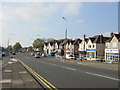


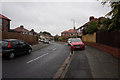
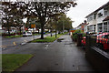
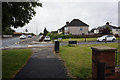
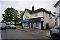


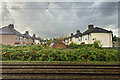
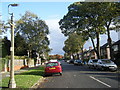
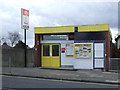
48 photos from this area
Area Information
Key information about the L18 9SE including its size, population, and administrative classification.
- Area Type
- Postcode
- Area Size
- 6960 m²
- Population
- 1527
- Population Density
- 5891 people/km²
House Prices in L18 9SE
19
Properties
£207,227
Average Sold Price
£72,500
Lowest Price
£335,000
Highest Price
Showing 19 properties
| Address | Type | Beds | Baths | Last Sale Price | Last Sale Date | |
|---|---|---|---|---|---|---|
| 35 Melbreck Road, Liverpool, L18 9SE | Terraced | 3 | 2 | £335,000 | Aug 2025 | |
| 5 Melbreck Road, Liverpool, L18 9SE | Detached | 4 | - | £320,000 | Apr 2019 | |
| 19 Melbreck Road, Liverpool, L18 9SE | house | - | - | £250,000 | Apr 2019 | |
| 31 Melbreck Road, Liverpool, L18 9SE | Semi-detached | 3 | 1 | £240,000 | Jan 2018 | |
| 37 Melbreck Road, Liverpool, L18 9SE | Terraced | 4 | 2 | £215,000 | Jul 2017 | |
| 27 Melbreck Road, Liverpool, L18 9SE | Semi-detached | 3 | 2 | £279,000 | Jul 2016 | |
| 39 Melbreck Road, Liverpool, L18 9SE | Terraced | 3 | - | £183,000 | Dec 2014 | |
| 7 Melbreck Road, Liverpool, L18 9SE | house | 4 | - | £220,000 | Nov 2012 | |
| 9 Melbreck Road, Liverpool, L18 9SE | Semi-detached | - | - | £90,000 | Jul 1999 | |
| 23 Melbreck Road, Liverpool, L18 9SE | Terraced | - | - | £72,500 | Mar 1998 |
Page 1 of 2
Energy Efficiency in L18 9SE
Amenities
Schools
| Rank | School | Type | Entry gender | Ages |
|---|
Explore more schools in this area
Go to Schools tabDemographics
Household Size
Family (3-5 people)
most common
Accommodation Type
Houses
most common
Tenure
93
majority
Ethnic Group
White
most common
Religion
N/A
most common
Household Composition
N/A
most common
Age
47
median
Adults (30-64 years)
most common
Household Deprivation
N/A
with no deprivation
NS-SEC
48
in Lower managerial occupations
Explore more demographic insights in this area
Go to Demographics tabPlanning
Planning Constraints
- Flood RiskPremium
- Ramsar Wetland SitesPremium
- Area of Outstanding Natural BeautyPremium
- Protected Nature ReservePremium
- Protected WoodlandPremium