Area Overview for L18 6HN
Photos of L18 6HN

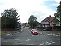


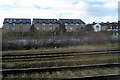

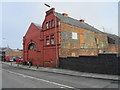
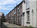

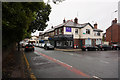
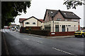
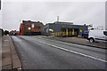
50 photos from this area
Area Information
Key information about the L18 6HN including its size, population, and administrative classification.
- Area Type
- Postcode
- Area Size
- 5615 m²
- Population
- 1365
- Population Density
- 1596 people/km²
House Prices in L18 6HN
10
Properties
£451,583
Average Sold Price
£273,000
Lowest Price
£800,000
Highest Price
Showing 10 properties
| Address | Type | Beds | Baths | Last Sale Price | Last Sale Date | |
|---|---|---|---|---|---|---|
| 15 Garth Drive, Liverpool, L18 6HN | Detached | 5 | 1 | £800,000 | Dec 2023 | |
| 5 Garth Drive, Liverpool, L18 6HN | Semi-detached | 5 | 2 | £550,000 | Oct 2018 | |
| 3 Garth Drive, Liverpool, L18 6HN | house | - | - | £273,000 | Nov 2016 | |
| 7 Garth Drive, Liverpool, L18 6HN | Detached | 5 | 2 | £392,500 | May 2014 | |
| 21 Garth Drive, Liverpool, L18 6HN | house | - | - | £375,000 | Jun 2010 | |
| 1 Garth Drive, Liverpool, L18 6HN | Detached | 5 | 2 | £319,000 | Nov 2009 | |
| 17 Garth Drive, Liverpool, L18 6HN | Semi-detached | - | - | - | - | |
| 23 Garth Drive, Liverpool, L18 6HN | Terraced | - | - | - | - | |
| 19 Garth Drive, Liverpool, L18 6HN | Semi-detached | - | - | - | - | |
| 9 Garth Drive, Liverpool, L18 6HN | Semi-detached | - | - | - | - |
Energy Efficiency in L18 6HN
Amenities
Schools
| Rank | School | Type | Entry gender | Ages |
|---|
Explore more schools in this area
Go to Schools tabDemographics
Household Size
Two person
most common
Accommodation Type
Houses
most common
Tenure
86
majority
Ethnic Group
White
most common
Religion
N/A
most common
Household Composition
N/A
most common
Age
47
median
Adults (30-64 years)
most common
Household Deprivation
N/A
with no deprivation
NS-SEC
51
in Lower managerial occupations
Explore more demographic insights in this area
Go to Demographics tabPlanning
Planning Constraints
- Flood RiskPremium
- Ramsar Wetland SitesPremium
- Area of Outstanding Natural BeautyPremium
- Protected Nature ReservePremium
- Protected WoodlandPremium