Area Overview for L18 5EA
Photos of L18 5EA
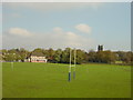
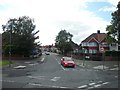
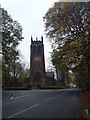

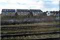
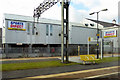
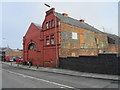
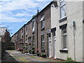

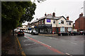
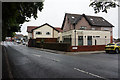
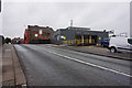
50 photos from this area
Area Information
Key information about the L18 5EA including its size, population, and administrative classification.
- Area Type
- Postcode
- Area Size
- 8332 m²
- Population
- 1756
- Population Density
- 9047 people/km²
House Prices in L18 5EA
20
Properties
£141,873
Average Sold Price
£33,500
Lowest Price
£350,000
Highest Price
Showing 20 properties
| Address | Type | Beds | Baths | Last Sale Price | Last Sale Date | |
|---|---|---|---|---|---|---|
| 187 Rose Lane, Liverpool, L18 5EA | Maisonette | - | - | £85,000 | Oct 2021 | |
| 225 Rose Lane, Liverpool, L18 5EA | Terraced | 3 | 1 | £235,000 | Aug 2020 | |
| 195 Rose Lane, Liverpool, L18 5EA | Flat | - | - | £350,000 | Sep 2018 | |
| 223 Rose Lane, Liverpool, L18 5EA | Semi-detached | 3 | - | £184,000 | Aug 2017 | |
| 181 Rose Lane, Liverpool, L18 5EA | Maisonette | 3 | 1 | £127,000 | Jun 2015 | |
| 217 Rose Lane, Liverpool, L18 5EA | Semi-detached | 3 | - | £190,000 | Mar 2015 | |
| 213 Rose Lane, Liverpool, L18 5EA | house | - | - | £181,600 | Mar 2012 | |
| 221 Rose Lane, Liverpool, L18 5EA | Terraced | - | - | £67,500 | Jun 2001 | |
| 197 Rose Lane, Liverpool, L18 5EA | Flat | - | - | £65,000 | Apr 1999 | |
| 219 Rose Lane, Liverpool, L18 5EA | house | - | - | £33,500 | Nov 1996 |
Page 1 of 2
Energy Efficiency in L18 5EA
Amenities
Schools
| Rank | School | Type | Entry gender | Ages |
|---|
Explore more schools in this area
Go to Schools tabDemographics
Household Size
Two person
most common
Accommodation Type
Houses
most common
Tenure
76
majority
Ethnic Group
White
most common
Religion
N/A
most common
Household Composition
N/A
most common
Age
47
median
Adults (30-64 years)
most common
Household Deprivation
N/A
with no deprivation
NS-SEC
43
in Lower managerial occupations
Explore more demographic insights in this area
Go to Demographics tabPlanning
Planning Constraints
- Flood RiskPremium
- Ramsar Wetland SitesPremium
- Area of Outstanding Natural BeautyPremium
- Protected Nature ReservePremium
- Protected WoodlandPremium