Area Overview for L18 4QF
Photos of L18 4QF
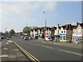


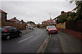
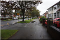
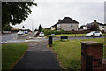
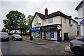


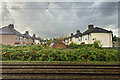
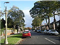
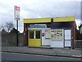
48 photos from this area
Area Information
Key information about the L18 4QF including its size, population, and administrative classification.
- Area Type
- Postcode
- Area Size
- 8209 m²
- Population
- 1188
- Population Density
- 2824 people/km²
House Prices in L18 4QF
23
Properties
£225,750
Average Sold Price
£75,000
Lowest Price
£425,000
Highest Price
Showing 23 properties
| Address | Type | Beds | Baths | Last Sale Price | Last Sale Date | |
|---|---|---|---|---|---|---|
| 39 Glenmore Avenue, Liverpool, L18 4QF | Semi-detached | 3 | 1 | £425,000 | Aug 2023 | |
| 45 Glenmore Avenue, Liverpool, L18 4QF | Semi-detached | - | - | £400,000 | Aug 2022 | |
| 41 Glenmore Avenue, Liverpool, L18 4QF | Semi-detached | 3 | - | £240,000 | Dec 2016 | |
| 44 Glenmore Avenue, Liverpool, L18 4QF | Semi-detached | 3 | 1 | £320,000 | Nov 2016 | |
| 38 Glenmore Avenue, Liverpool, L18 4QF | Semi-detached | 3 | 1 | £292,500 | Jul 2016 | |
| 32 Glenmore Avenue, Liverpool, L18 4QF | Semi-detached | 3 | 1 | £315,000 | Jul 2016 | |
| 49 Glenmore Avenue, Liverpool, L18 4QF | Semi-detached | 3 | 1 | £265,000 | Jul 2016 | |
| 37 Glenmore Avenue, Liverpool, L18 4QF | house | - | - | £206,000 | Apr 2013 | |
| 29 Glenmore Avenue, Liverpool, L18 4QF | Semi-detached | - | - | £237,500 | Jul 2008 | |
| 30 Glenmore Avenue, Liverpool, L18 4QF | Semi-detached | - | - | £205,000 | Aug 2006 |
Page 1 of 3
Energy Efficiency in L18 4QF
Amenities
Schools
| Rank | School | Type | Entry gender | Ages |
|---|
Explore more schools in this area
Go to Schools tabDemographics
Household Size
Family (3-5 people)
most common
Accommodation Type
Houses
most common
Tenure
86
majority
Ethnic Group
White
most common
Religion
N/A
most common
Household Composition
N/A
most common
Age
47
median
Adults (30-64 years)
most common
Household Deprivation
N/A
with no deprivation
NS-SEC
52
in Lower managerial occupations
Explore more demographic insights in this area
Go to Demographics tabPlanning
Planning Constraints
- Flood RiskPremium
- Ramsar Wetland SitesPremium
- Area of Outstanding Natural BeautyPremium
- Protected Nature ReservePremium
- Protected WoodlandPremium