Area Overview for L17 7AL
Photos of L17 7AL
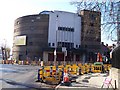
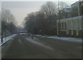
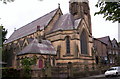
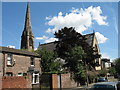
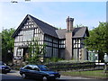
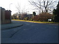
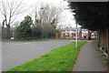
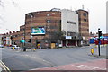
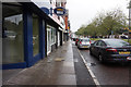
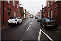
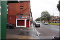
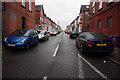
30 photos from this area
Area Information
Key information about the L17 7AL including its size, population, and administrative classification.
- Area Type
- Postcode
- Area Size
- 1.4 hectares
- Population
- 1754
- Population Density
- 3136 people/km²
House Prices in L17 7AL
79
Properties
£176,267
Average Sold Price
£14,000
Lowest Price
£323,000
Highest Price
Showing 79 properties
| Address | Type | Beds | Baths | Last Sale Price | Last Sale Date | |
|---|---|---|---|---|---|---|
| 37 Bryanston Road, Liverpool, L17 7AL | Terraced | 3 | 1 | £250,000 | Feb 2025 | |
| 51 Bryanston Road, Liverpool, L17 7AL | Terraced | 4 | - | £229,000 | Nov 2024 | |
| 8 Bryanston Road, Liverpool, L17 7AL | Terraced | 2 | 1 | £200,000 | Jul 2024 | |
| 28 Bryanston Road, Liverpool, L17 7AL | Terraced | 3 | 1 | £245,000 | Apr 2024 | |
| 20 Bryanston Road, Liverpool, L17 7AL | Terraced | 4 | 2 | £297,500 | Jan 2024 | |
| 22 Bryanston Road, Liverpool, L17 7AL | Terraced | 4 | 1 | £265,000 | Oct 2023 | |
| 24 Bryanston Road, Liverpool, L17 7AL | Terraced | 4 | 1 | £323,000 | Sep 2022 | |
| 10 Bryanston Road, Liverpool, L17 7AL | Terraced | 3 | 1 | £230,000 | Jun 2022 | |
| 41 Bryanston Road, Liverpool, L17 7AL | Terraced | 3 | 2 | £255,000 | May 2022 | |
| 19 Bryanston Road, Liverpool, L17 7AL | house | - | - | £168,000 | Sep 2021 |
Page 1 of 8
Energy Efficiency in L17 7AL
Amenities
Schools
| Rank | School | Type | Entry gender | Ages |
|---|
Explore more schools in this area
Go to Schools tabDemographics
Household Size
One person
most common
Accommodation Type
Houses
most common
Tenure
70
majority
Ethnic Group
White
most common
Religion
N/A
most common
Household Composition
N/A
most common
Age
47
median
Adults (30-64 years)
most common
Household Deprivation
N/A
with no deprivation
NS-SEC
36
in Lower managerial occupations
Explore more demographic insights in this area
Go to Demographics tabPlanning
Planning Constraints
- Flood RiskPremium
- Ramsar Wetland SitesPremium
- Area of Outstanding Natural BeautyPremium
- Protected Nature ReservePremium
- Protected WoodlandPremium