Area Overview for L15 2HZ
Photos of L15 2HZ
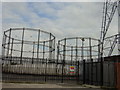
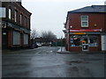
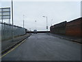
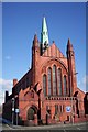
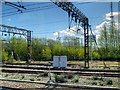
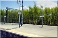
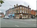
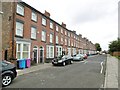
62 photos from this area
Area Information
Key information about the L15 2HZ including its size, population, and administrative classification.
- Area Type
- Postcode
- Area Size
- 5063 m²
- Population
- 3789
- Population Density
- 5164 people/km²
House Prices in L15 2HZ
48
Properties
£93,260
Average Sold Price
£19,000
Lowest Price
£220,000
Highest Price
Showing 48 properties
| Address | Type | Beds | Baths | Last Sale Price | Last Sale Date | |
|---|---|---|---|---|---|---|
| 92 Cranborne Road, Liverpool, L15 2HZ | Terraced | - | - | £120,000 | Sep 2025 | |
| 88 Cranborne Road, Liverpool, L15 2HZ | Terraced | 3 | 1 | £165,000 | Jul 2025 | |
| 136 Cranborne Road, Liverpool, L15 2HZ | Terraced | - | - | £160,000 | Apr 2024 | |
| 118 Cranborne Road, Liverpool, L15 2HZ | Terraced | 3 | 1 | £120,000 | Jan 2023 | |
| 152 Cranborne Road, Liverpool, L15 2HZ | Terraced | 4 | 1 | £102,000 | Aug 2022 | |
| 110 Cranborne Road, Liverpool, L15 2HZ | house | - | - | £165,000 | Oct 2021 | |
| 82 Cranborne Road, Liverpool, L15 2HZ | Terraced | 3 | - | £85,000 | Sep 2021 | |
| 172 Cranborne Road, Liverpool, L15 2HZ | house | 3 | 1 | £70,602 | Sep 2021 | |
| 174 Cranborne Road, Liverpool, L15 2HZ | Flat | 4 | 1 | £220,000 | Sep 2021 | |
| 104 Cranborne Road, Liverpool, L15 2HZ | house | - | - | £125,000 | Jun 2021 |
Page 1 of 5
Energy Efficiency in L15 2HZ
Amenities
Schools
| Rank | School | Type | Entry gender | Ages |
|---|
Explore more schools in this area
Go to Schools tabDemographics
Household Size
One person
most common
Accommodation Type
Houses
most common
Tenure
34
majority
Ethnic Group
White
most common
Religion
N/A
most common
Household Composition
N/A
most common
Age
47
median
Adults (30-64 years)
most common
Household Deprivation
N/A
with no deprivation
NS-SEC
16
in Lower managerial occupations
Explore more demographic insights in this area
Go to Demographics tabPlanning
Planning Constraints
- Flood RiskPremium
- Ramsar Wetland SitesPremium
- Area of Outstanding Natural BeautyPremium
- Protected Nature ReservePremium
- Protected WoodlandPremium