Area Overview for L15 1EY
Photos of L15 1EY
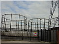
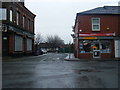
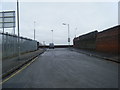
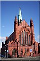
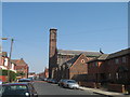
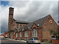
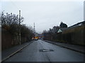
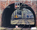
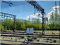
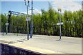
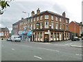
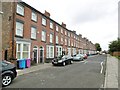
62 photos from this area
Area Information
Key information about the L15 1EY including its size, population, and administrative classification.
- Area Type
- Postcode
- Area Size
- 8477 m²
- Population
- 1728
- Population Density
- 19052 people/km²
House Prices in L15 1EY
92
Properties
£123,166
Average Sold Price
£25,500
Lowest Price
£210,000
Highest Price
Showing 92 properties
| Address | Type | Beds | Baths | Last Sale Price | Last Sale Date | |
|---|---|---|---|---|---|---|
| 57 Ashfield, Liverpool, L15 1EY | house | - | - | £165,000 | Feb 2022 | |
| 29 Ashfield, Liverpool, L15 1EY | Detached | 6 | 2 | £210,000 | Feb 2022 | |
| 43A Ashfield, Liverpool, L15 1EY | house | - | - | £160,000 | Dec 2021 | |
| 55 Ashfield, Liverpool, L15 1EY | house | - | - | £89,200 | Sep 2020 | |
| 3 Ashfield, Liverpool, L15 1EY | Terraced | 2 | 1 | £88,000 | Apr 2019 | |
| 41 Ashfield, Liverpool, L15 1EY | Semi-detached | 3 | 1 | £107,000 | Jun 2018 | |
| 39 Ashfield, Liverpool, L15 1EY | Terraced | 3 | 1 | £124,950 | Jun 2016 | |
| 47 Ashfield, Liverpool, L15 1EY | Semi-detached | 3 | - | £114,000 | Oct 2014 | |
| 19 Ashfield, Liverpool, L15 1EY | Terraced | 6 | 2 | £190,000 | Jan 2014 | |
| 17 Ashfield, Liverpool, L15 1EY | Terraced | 5 | 2 | £190,000 | Dec 2013 |
Page 1 of 10
Energy Efficiency in L15 1EY
Amenities
Schools
| Rank | School | Type | Entry gender | Ages |
|---|
Explore more schools in this area
Go to Schools tabDemographics
Household Size
Family (3-5 people)
most common
Accommodation Type
Houses
most common
Tenure
32
majority
Ethnic Group
White
most common
Religion
N/A
most common
Household Composition
N/A
most common
Age
22
median
Young Adults (15-29 years)
most common
Household Deprivation
N/A
with no deprivation
NS-SEC
13
in Lower managerial occupations
Explore more demographic insights in this area
Go to Demographics tabPlanning
Planning Constraints
- Flood RiskPremium
- Ramsar Wetland SitesPremium
- Area of Outstanding Natural BeautyPremium
- Protected Nature ReservePremium
- Protected WoodlandPremium