Area Overview for L15 1EG
Photos of L15 1EG
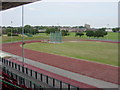
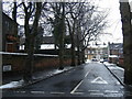
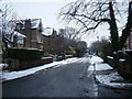
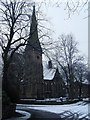
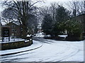
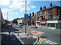
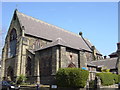
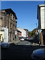
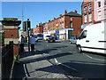
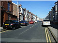
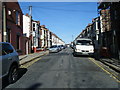
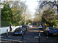
66 photos from this area
Area Information
Key information about the L15 1EG including its size, population, and administrative classification.
- Area Type
- Postcode
- Area Size
- 5131 m²
- Population
- 1576
- Population Density
- 14446 people/km²
House Prices in L15 1EG
64
Properties
£68,842
Average Sold Price
£27,000
Lowest Price
£110,000
Highest Price
Showing 64 properties
| Address | Type | Beds | Baths | Last Sale Price | Last Sale Date | |
|---|---|---|---|---|---|---|
| 24 Methuen Street, Liverpool, L15 1EG | Terraced | 2 | 1 | £110,000 | Sep 2025 | |
| 16 Methuen Street, Liverpool, L15 1EG | house | 2 | 1 | £70,000 | Jun 2025 | |
| 5 Methuen Street, Liverpool, L15 1EG | Terraced | 2 | 2 | £82,000 | Feb 2025 | |
| 18 Methuen Street, Liverpool, L15 1EG | Terraced | 2 | 1 | £86,000 | Apr 2024 | |
| 54 Methuen Street, Liverpool, L15 1EG | Terraced | 2 | 1 | £90,000 | Jun 2023 | |
| 17 Methuen Street, Liverpool, L15 1EG | Terraced | 2 | 1 | £74,000 | Dec 2022 | |
| 15 Methuen Street, Liverpool, L15 1EG | Terraced | 2 | 1 | £63,000 | Sep 2022 | |
| 33 Methuen Street, Liverpool, L15 1EG | house | - | - | £70,000 | May 2022 | |
| 8 Methuen Street, Liverpool, L15 1EG | Terraced | 2 | 1 | £70,000 | Dec 2021 | |
| 9 Methuen Street, Liverpool, L15 1EG | house | 2 | - | £72,000 | Aug 2021 |
Page 1 of 7
Energy Efficiency in L15 1EG
Amenities
Schools
| Rank | School | Type | Entry gender | Ages |
|---|
Explore more schools in this area
Go to Schools tabDemographics
Household Size
One person
most common
Accommodation Type
Houses
most common
Tenure
22
majority
Ethnic Group
White
most common
Religion
N/A
most common
Household Composition
N/A
most common
Age
47
median
Adults (30-64 years)
most common
Household Deprivation
N/A
with no deprivation
NS-SEC
15
in Lower managerial occupations
Explore more demographic insights in this area
Go to Demographics tabPlanning
Planning Constraints
- Flood RiskPremium
- Ramsar Wetland SitesPremium
- Area of Outstanding Natural BeautyPremium
- Protected Nature ReservePremium
- Protected WoodlandPremium