Area Overview for L14 9PX
Photos of L14 9PX
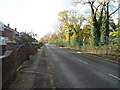
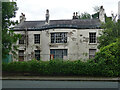
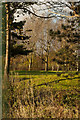
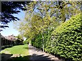
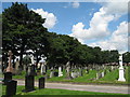
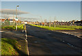
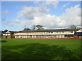
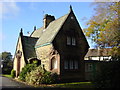
14 photos from this area
Area Information
Key information about the L14 9PX including its size, population, and administrative classification.
- Area Type
- Postcode
- Area Size
- 1.2 hectares
- Population
- 1397
- Population Density
- 7507 people/km²
House Prices in L14 9PX
41
Properties
£72,868
Average Sold Price
£23,500
Lowest Price
£130,000
Highest Price
Showing 41 properties
| Address | Type | Beds | Baths | Last Sale Price | Last Sale Date | |
|---|---|---|---|---|---|---|
| 15 Finch Lane, Liverpool, L14 9PX | Terraced | 3 | 1 | £130,000 | Apr 2023 | |
| 59 Finch Lane, Liverpool, L14 9PX | house | - | - | £115,000 | Nov 2022 | |
| 25 Finch Lane, Liverpool, L14 9PX | Terraced | 3 | 1 | £87,500 | Oct 2020 | |
| 19 Finch Lane, Liverpool, L14 9PX | Terraced | 3 | 1 | £88,000 | Dec 2019 | |
| 33 Finch Lane, Liverpool, L14 9PX | Terraced | 3 | 1 | £71,000 | Oct 2018 | |
| 27 Finch Lane, Liverpool, L14 9PX | Terraced | 3 | 1 | £90,000 | Oct 2018 | |
| 23 Finch Lane, Liverpool, L14 9PX | Terraced | 3 | 1 | £85,000 | Dec 2017 | |
| 63 Finch Lane, Liverpool, L14 9PX | Terraced | 2 | 1 | £50,000 | Jan 2017 | |
| 11 Finch Lane, Liverpool, L14 9PX | house | 3 | - | £85,000 | May 2014 | |
| 31 Finch Lane, Liverpool, L14 9PX | house | - | - | £72,000 | Nov 2013 |
Page 1 of 5
Energy Efficiency in L14 9PX
Amenities
Schools
| Rank | School | Type | Entry gender | Ages |
|---|
Explore more schools in this area
Go to Schools tabDemographics
Household Size
One person
most common
Accommodation Type
Houses
most common
Tenure
33
majority
Ethnic Group
White
most common
Religion
N/A
most common
Household Composition
N/A
most common
Age
47
median
Adults (30-64 years)
most common
Household Deprivation
N/A
with no deprivation
NS-SEC
14
in Lower managerial occupations
Explore more demographic insights in this area
Go to Demographics tabPlanning
Planning Constraints
- Flood RiskPremium
- Ramsar Wetland SitesPremium
- Area of Outstanding Natural BeautyPremium
- Protected Nature ReservePremium
- Protected WoodlandPremium